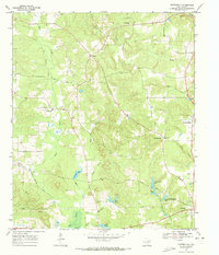
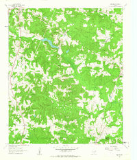
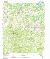
1969 Map of Carterville
USGS Topo · Published 1973This historical map portrays the area of Carterville in 1969, primarily covering Cass County. Featuring a scale of 1:24000, this map provides a highly detailed snapshot of the terrain, roads, buildings, counties, and historical landmarks in the Carterville region at the time. Published in 1973, it is the sole known edition of this map.
Find a feature on this map
33 named features on this map. Tap any name to fly to it.
Don’t see what you’re looking for? This feature index may not catch every label — zoom into the map to look around manually.
Map Details
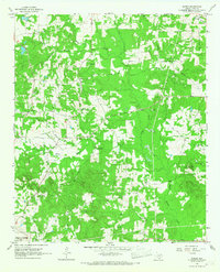
Editions of this 1969 Carterville Map
This is the sole edition of this map. No revisions or reprints were ever made.
Historical Maps of Linden Through Time
10 maps found
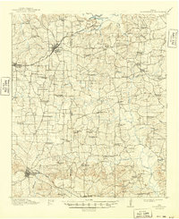
1914 Daingerfeild
Cass County, TX
1961 Cunningham Creek
Cass County, TX
1962 Kildare
Cass County, TX
1962 Lanier
Cass County, TX
1965 Sardis
Cass County, TX
1969 Atlanta North
Cass County, TX
1969 Atlanta South
Cass County, TX
1969 Bryans Mill
Cass County, TX
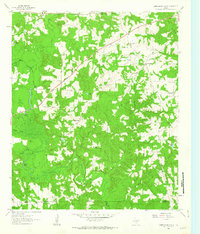
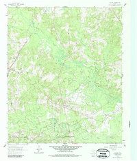
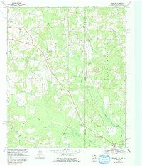
1969 Carterville
Cass County, TX
1969 Ravanna
Cass County, TX