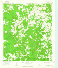
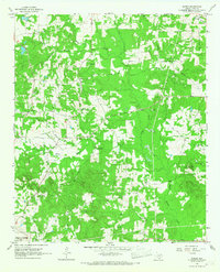
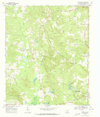
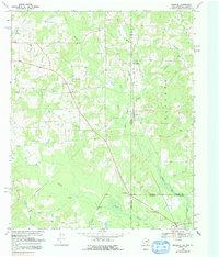
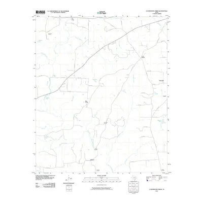
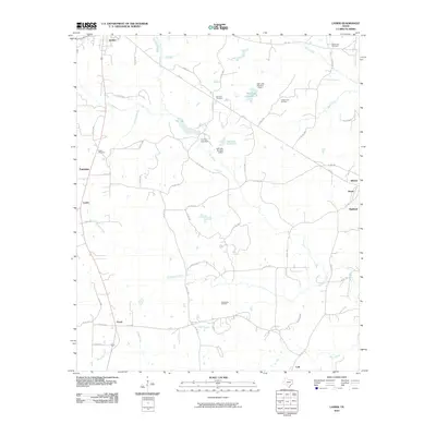
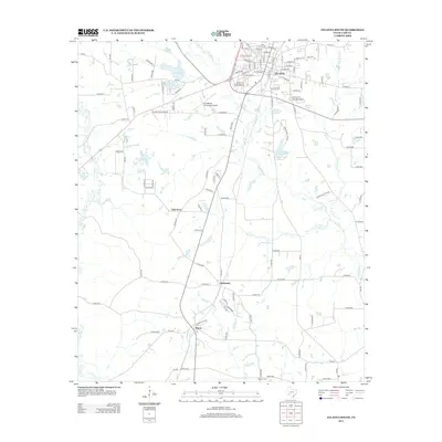
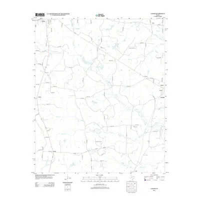
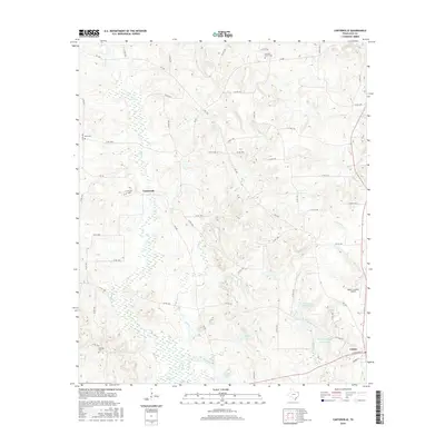
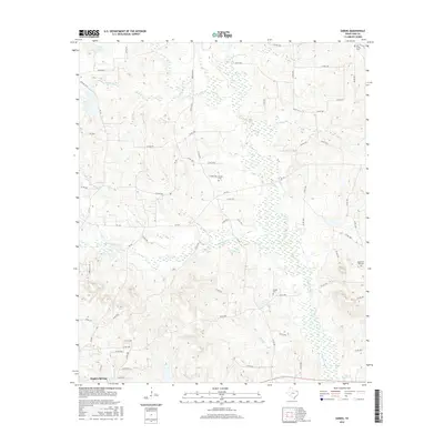
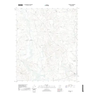
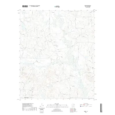
1961 Map of Cunningham Creek
USGS Topo · Published 1963About this map
Black Cypress Creek dominates the lowlands of this East Texas terrain, snaking through a landscape defined by its waterways and small rural communities. The map captures the scattered settlements of Bear Creek, Fairview, and Liberty during the early 1960s, a period when the regional economy remained deeply tied to the land and its drainage basins. Numerous smaller streams like Cunningham Creek and Flat Creek feed into the primary marshy bayous, creating a complex network of ponds and lakes such as Pruitt Lake and Hughes Lake.
Find a feature on this map
33 named features on this map. Tap any name to fly to it.
Don’t see what you’re looking for? This feature index may not catch every label — zoom into the map to look around manually.
Map Details
Editions of this 1961 Cunningham Creek Map
This is the sole edition of this map. No revisions or reprints were ever made.
Historical Maps of Fairview Through Time
50 maps found
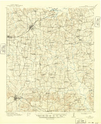
1914 Daingerfeild
Cass County, TX
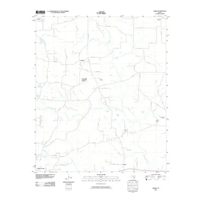
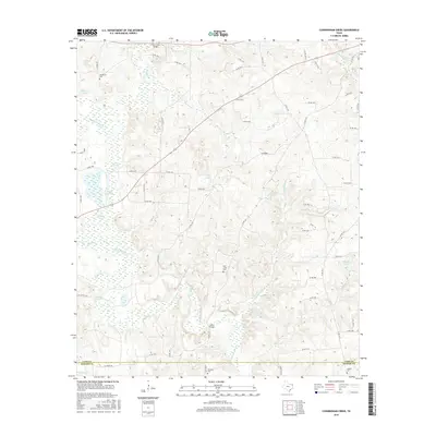
1961 Cunningham Creek
Cass County, TX
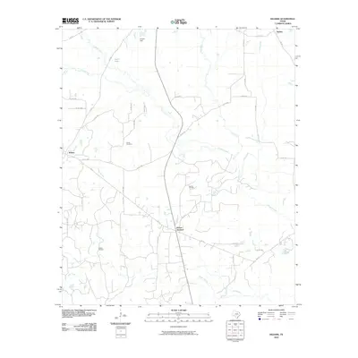
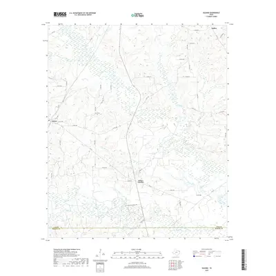
1962 Kildare
Cass County, TX
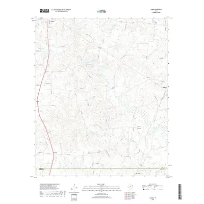
1962 Lanier
Cass County, TX
1965 Sardis
Cass County, TX
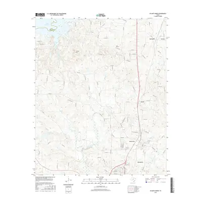
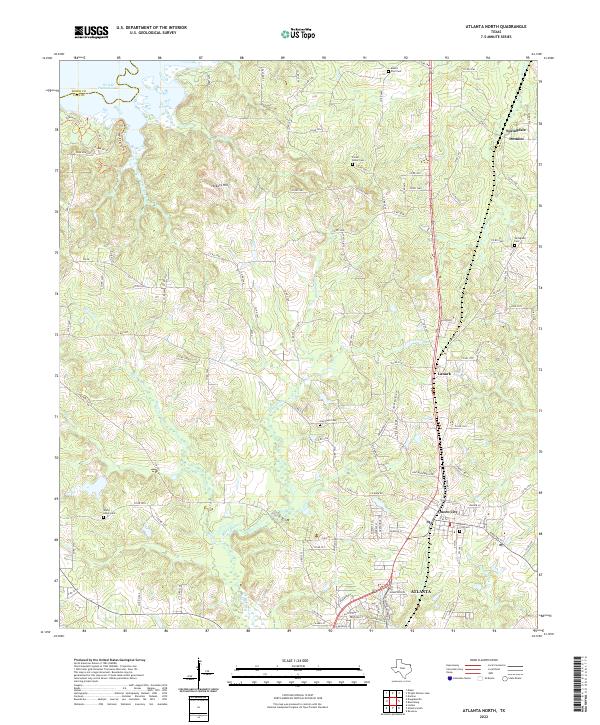
1969 Atlanta North
Cass County, TX
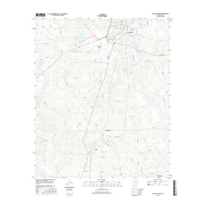
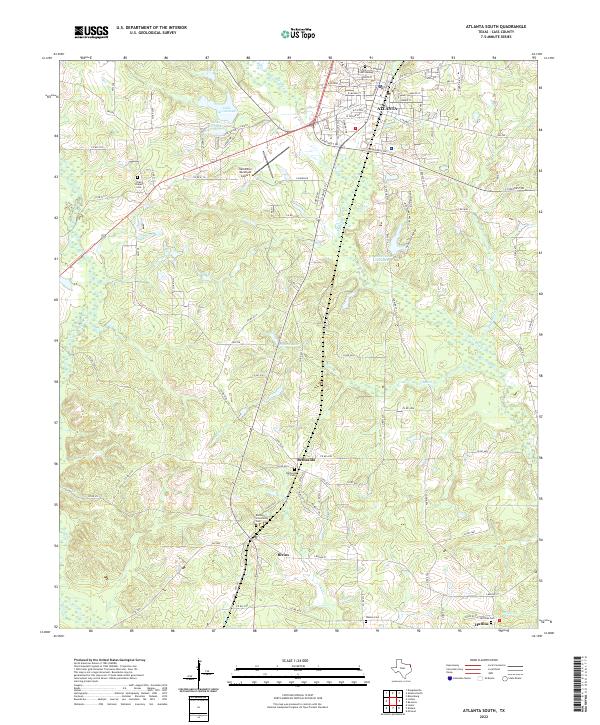
1969 Atlanta South
Cass County, TX
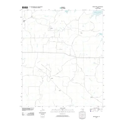
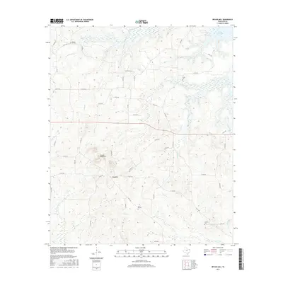
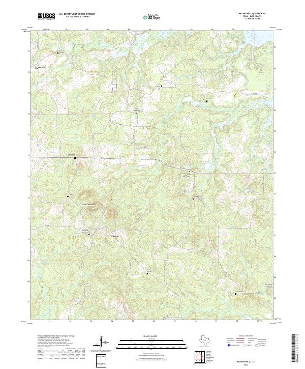
1969 Bryans Mill
Cass County, TX
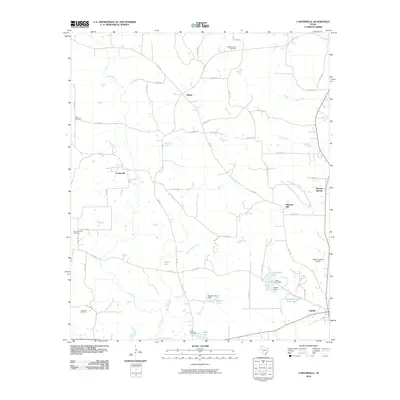
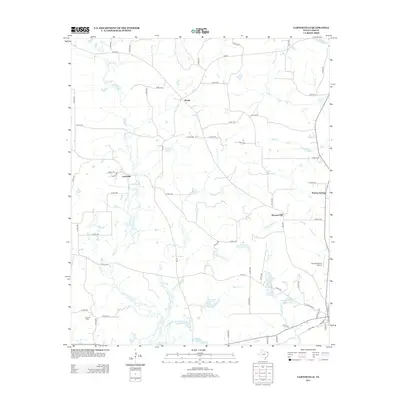
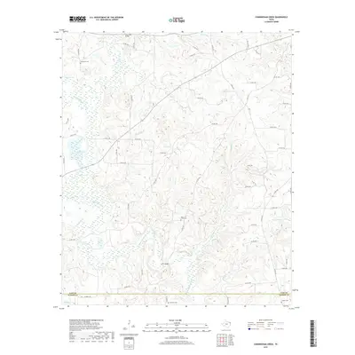
1969 Carterville
Cass County, TX
1969 Ravanna
Cass County, TX
2010 Atlanta North
Cass County, TX
2010 Atlanta South
Cass County, TX
2010 Bryans Mill
Cass County, TX
2010 Carterville
Cass County, TX
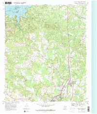
2010 Cunningham Creek
Cass County, TX
2010 Kildare
Cass County, TX
2010 Lanier
Cass County, TX
2010 Sardis
Cass County, TX
2012 Atlanta North
Cass County, TX
2012 Sardis
Cass County, TX
2013 Atlanta South
Cass County, TX

2013 Bryans Mill
Cass County, TX
2013 Carterville
Cass County, TX
2013 Cunningham Creek
Cass County, TX
2013 Kildare
Cass County, TX
2013 Lanier
Cass County, TX
2016 Atlanta North
Cass County, TX
2016 Atlanta South
Cass County, TX
2016 Bryans Mill
Cass County, TX
2016 Carterville
Cass County, TX
2016 Cunningham Creek
Cass County, TX
2016 Kildare
Cass County, TX
2016 Lanier
Cass County, TX
2016 Sardis
Cass County, TX
2019 Atlanta North
Cass County, TX
2019 Atlanta South
Cass County, TX
2019 Bryans Mill
Cass County, TX
2019 Carterville
Cass County, TX
2019 Cunningham Creek
Cass County, TX
2019 Kildare
Cass County, TX
2019 Lanier
Cass County, TX
2019 Sardis
Cass County, TX
2022 Atlanta North
Cass County, TX
2022 Atlanta South
Cass County, TX
2022 Bryans Mill
Cass County, TX
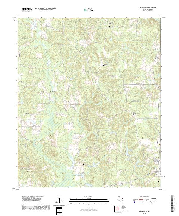
2022 Carterville
Cass County, TX
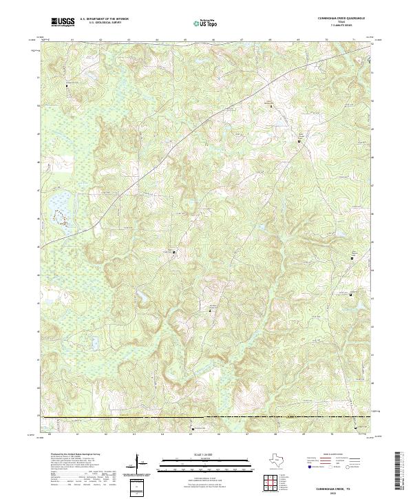
2022 Cunningham Creek
Cass County, TX
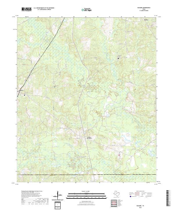
2022 Kildare
Cass County, TX
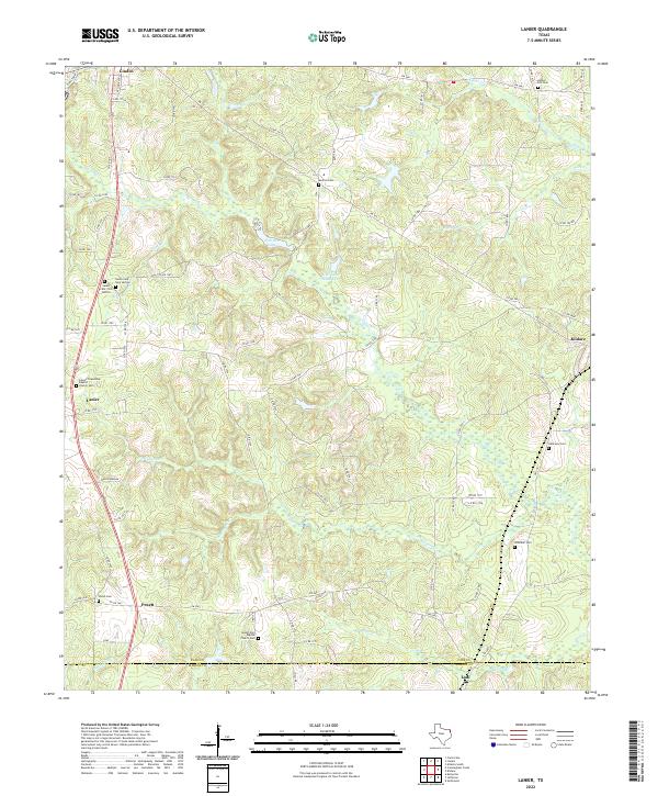
2022 Lanier
Cass County, TX
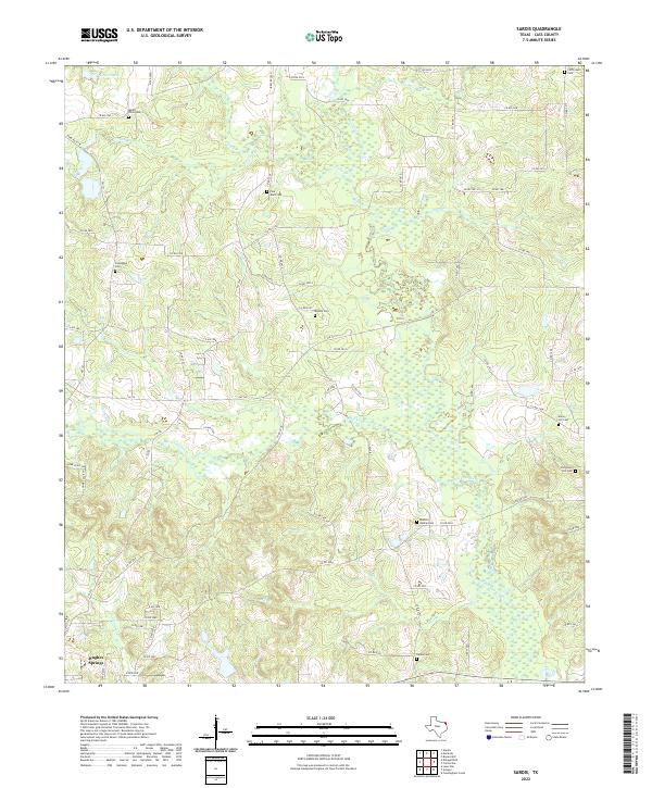
2022 Sardis
Cass County, TX