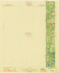
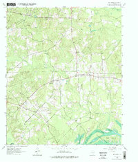
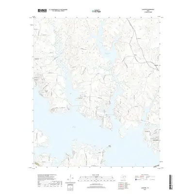
1948 Map of Kildare
USGS Topo · Published 1948About this map
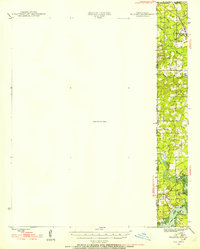
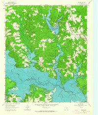
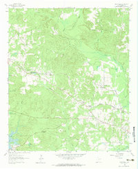
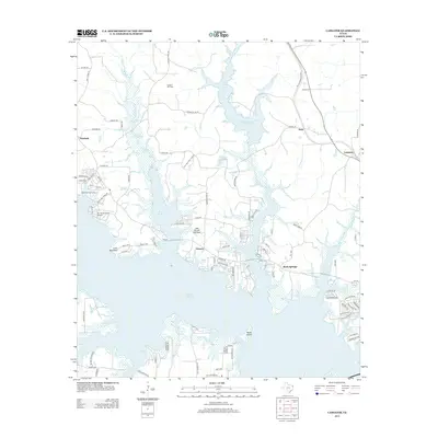
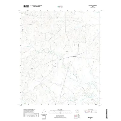
The tri-state border region where Texas, Louisiana, and Arkansas converge is documented here just after the war, revealing a landscape defined by its wetlands and industrial pockets. The eastern margin of this map follows a narrow corridor of the Kansas City Southern railroad, which serves small settlements such as Zylks and North Rodessa. This region is heavily influenced by the drainage patterns of Black Bayou and James Bayou, which create a complex network of marshes and water bodies like Myrtis Mill Pond. Social and industrial life is evidenced by the presence of Mission Chapel and Hill Ch, alongside a Salt Pit near the settlement of Trees. Much of the western portion remains marked as an Unsurveyed Area, contrasting the detailed mapping of the developed river landings and rail stops to the east. This survey captures a specific moment in the rural development of Caddo Parish and Marion County before later 20th-century shifts.
Find a feature on this map
21 named features on this map. Tap any name to fly to it.
Don’t see what you’re looking for? This feature index may not catch every label — zoom into the map to look around manually.
Map Details
Editions of this 1948 Kildare Map
This is the sole edition of this map. No revisions or reprints were ever made.
Historical Maps of Vivian Through Time
21 maps found
1944 Kildare
Marion County, TX
1948 Kildare
Marion County, TX
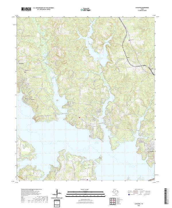
1961 Lassater
Marion County, TX
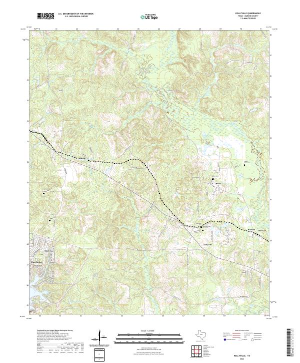
1962 Kellyville
Marion County, TX
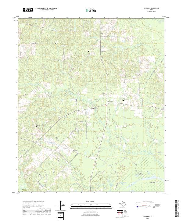
1962 Smithland
Marion County, TX

1962 Trees
Marion County, TX
2010 Kellyville
Marion County, TX
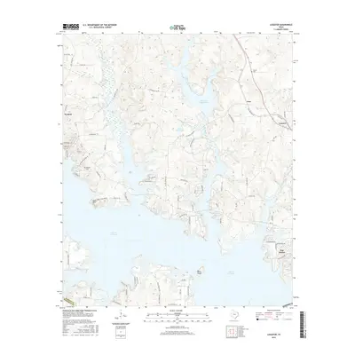
2010 Lassater
Marion County, TX
2010 Smithland
Marion County, TX
2013 Kellyville
Marion County, TX
2013 Lassater
Marion County, TX
2013 Smithland
Marion County, TX
2016 Kellyville
Marion County, TX
2016 Lassater
Marion County, TX
2016 Smithland
Marion County, TX
2019 Kellyville
Marion County, TX
2019 Lassater
Marion County, TX
2019 Smithland
Marion County, TX
2022 Kellyville
Marion County, TX
2022 Lassater
Marion County, TX
2022 Smithland
Marion County, TX