
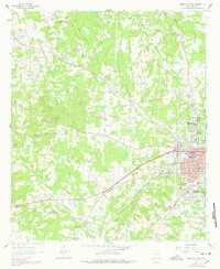
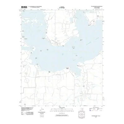
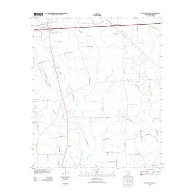
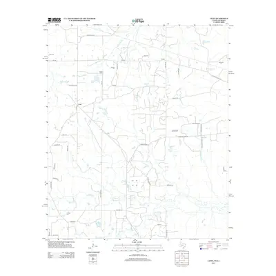
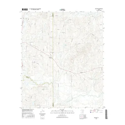
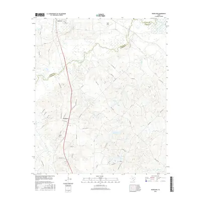
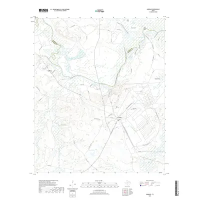
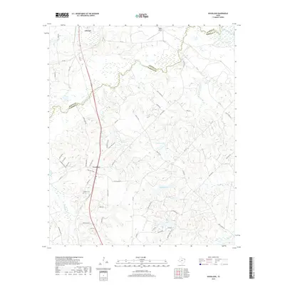
1944 Map of Caddo Lake
USGS Topo · Published 1954About this map
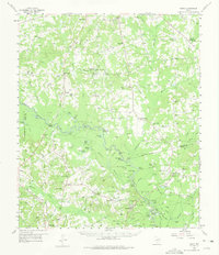
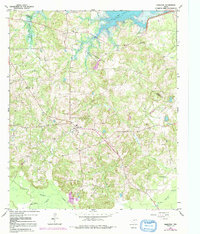
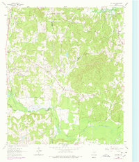
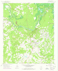
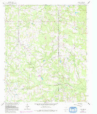
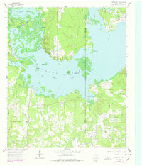
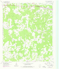
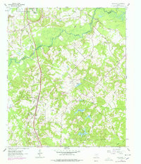
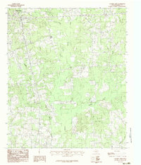
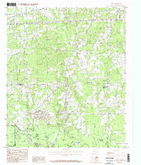
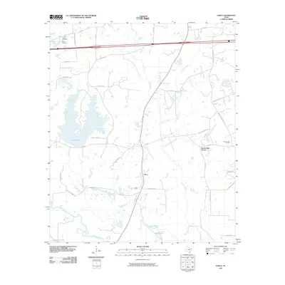
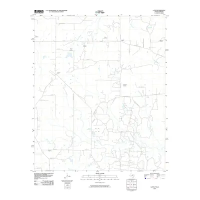
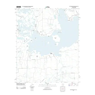
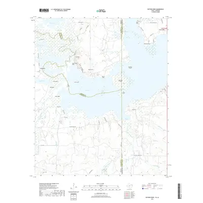
Latex and Jefferson Forks anchor this mid-1940s borderlands survey, where the marshy transition between Harrison County, Texas, and Caddo Parish, Louisiana, is defined by a dense network of bayous and islands. The map reveals a landscape heavily shaped by water and local social infrastructure, with numerous schools and churches serving a rural population before major post-war shifts. Along the complex shoreline of Caddo Lake, features like Big Sandy Island and Westfield Pt stand out against the western shoreline, while further inland, the drainage patterns of Garden Bayou and Republican Bayou dictate the settlement layout.
Find a feature on this map
29 named features on this map. Tap any name to fly to it.
Don’t see what you’re looking for? This feature index may not catch every label — zoom into the map to look around manually.
Map Details
Editions of this 1944 Caddo Lake Map
This is the sole edition of this map. No revisions or reprints were ever made.
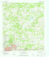
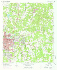
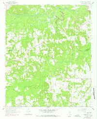
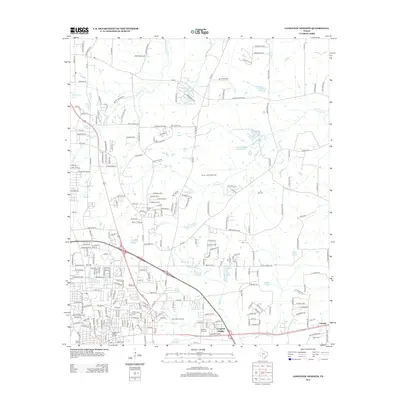
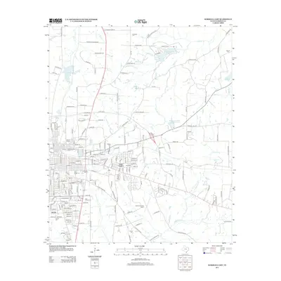
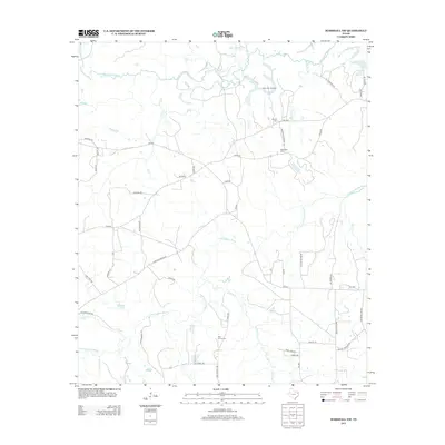
Historical Maps of Scottsville Through Time
81 maps found
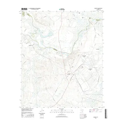
1944 Caddo Lake
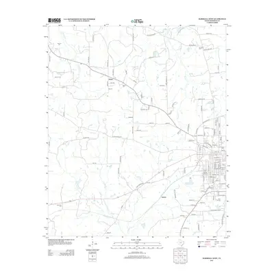
Harrison County, TX

1946 Caddo Lake
Harrison County, TX
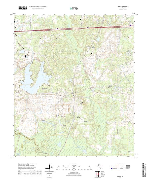
1958 Darco
Harrison County, TX
1961 Harleton
Harrison County, TX
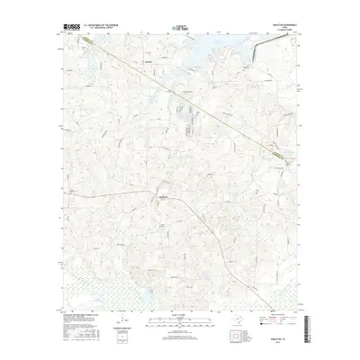
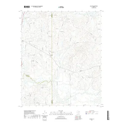
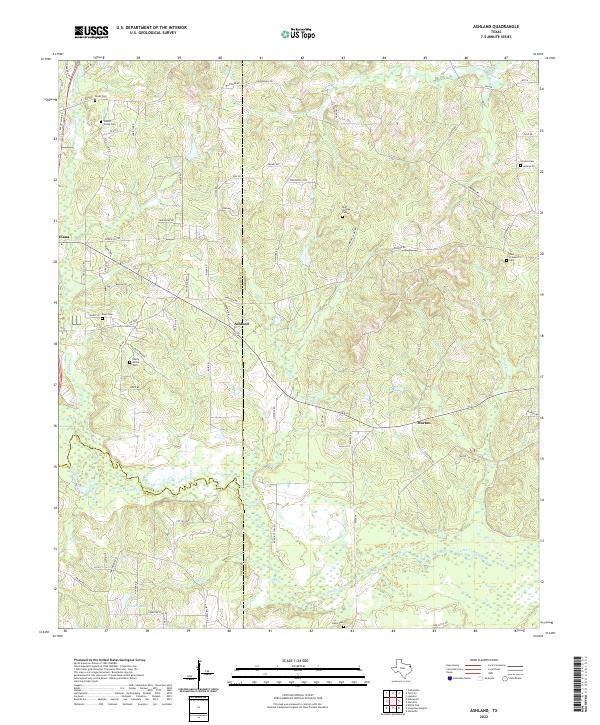
1962 Ashland
Harrison County, TX
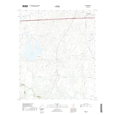
1962 Karnack
Harrison County, TX
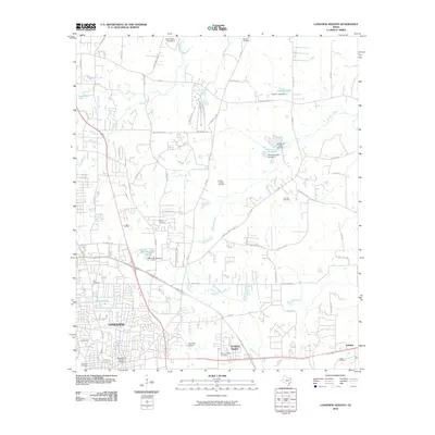
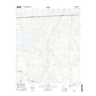
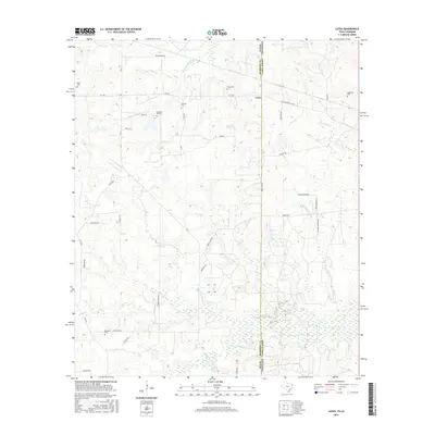
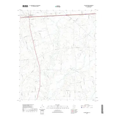
1962 Latex
Harrison County, TX
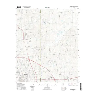
1962 Longview Heights
Harrison County, TX
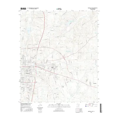
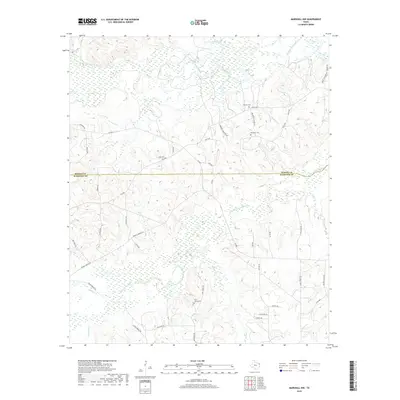
1962 Marshall East
Harrison County, TX
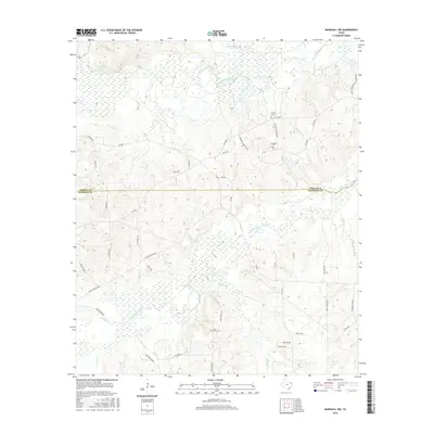
1962 Marshall NW
Harrison County, TX
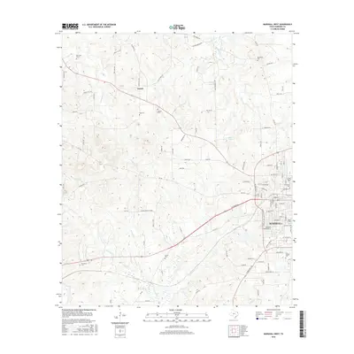
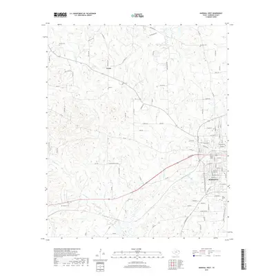
1962 Marshall West
Harrison County, TX
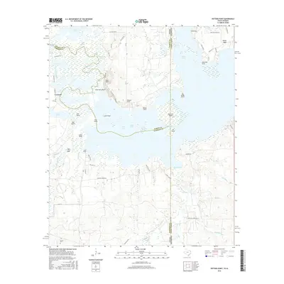
1962 Potters Point
Harrison County, TX
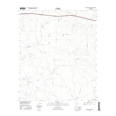
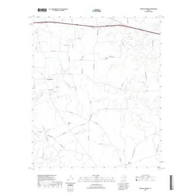
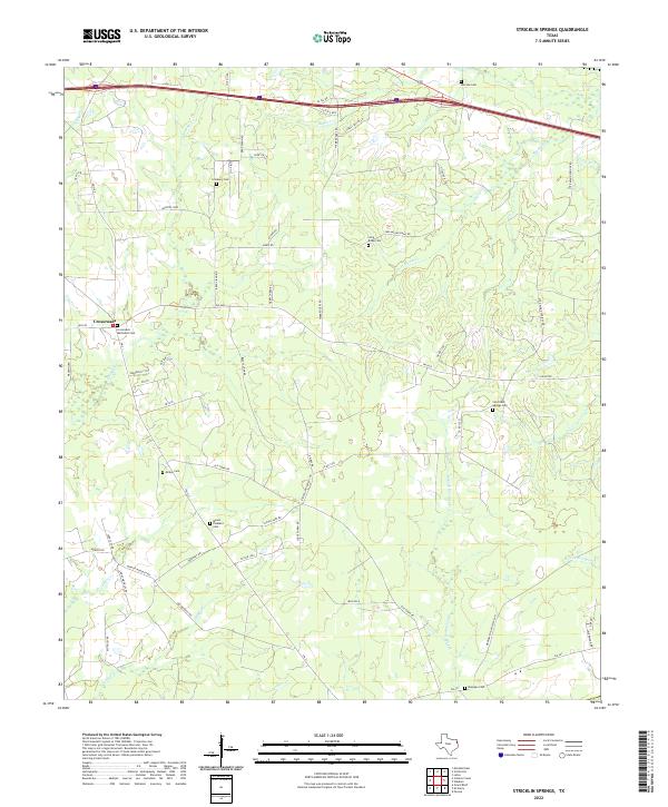
1962 Stricklin Springs
Harrison County, TX
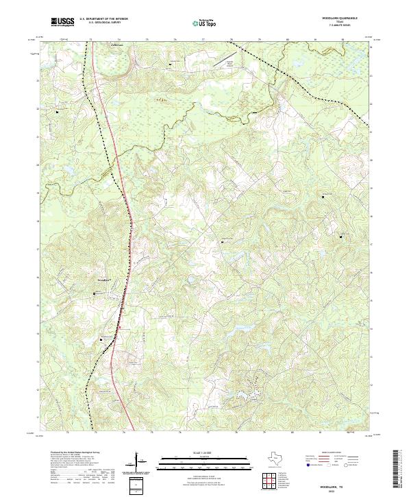
1962 Woodlawn
Harrison County, TX
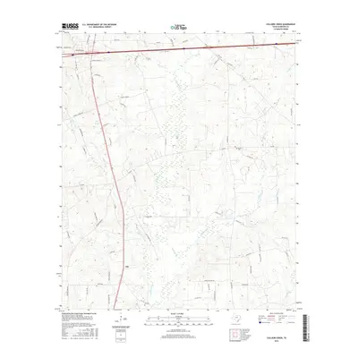
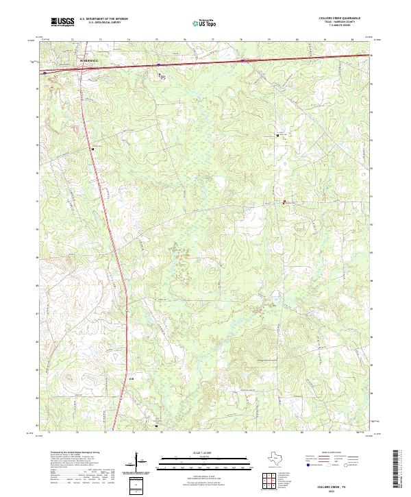
1983 Colliers Creek
Harrison County, TX
1983 Darco
Harrison County, TX
2010 Ashland
Harrison County, TX
2010 Colliers Creek
Harrison County, TX
2010 Darco
Harrison County, TX
2010 Harleton
Harrison County, TX
2010 Karnack
Harrison County, TX
2010 Latex
Harrison County, TX
2010 Longview Heights
Harrison County, TX
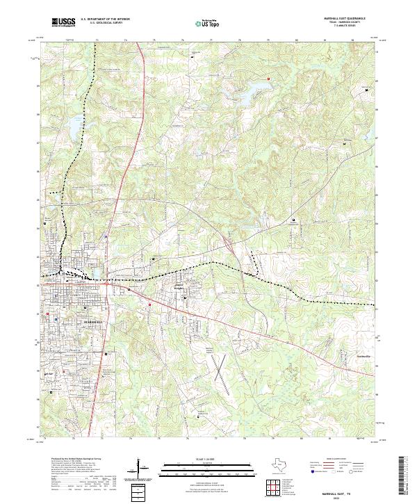
2010 Marshall East
Harrison County, TX
2010 Marshall NW
Harrison County, TX
2010 Marshall West
Harrison County, TX
2010 Potters Point
Harrison County, TX
2010 Stricklin Springs
Harrison County, TX
2010 Woodlawn
Harrison County, TX
2013 Ashland
Harrison County, TX
2013 Colliers Creek
Harrison County, TX
2013 Darco
Harrison County, TX
2013 Harleton
Harrison County, TX
2013 Karnack
Harrison County, TX
2013 Latex
Harrison County, TX
2013 Longview Heights
Harrison County, TX
2013 Marshall East
Harrison County, TX
2013 Marshall NW
Harrison County, TX
2013 Marshall West
Harrison County, TX
2013 Potters Point
Harrison County, TX
2013 Stricklin Springs
Harrison County, TX
2013 Woodlawn
Harrison County, TX
2016 Ashland
Harrison County, TX
2016 Colliers Creek
Harrison County, TX
2016 Darco
Harrison County, TX
2016 Harleton
Harrison County, TX
2016 Karnack
Harrison County, TX
2016 Latex
Harrison County, TX
2016 Longview Heights
Harrison County, TX
2016 Marshall East
Harrison County, TX
2016 Marshall NW
Harrison County, TX
2016 Marshall West
Harrison County, TX
2016 Potters Point
Harrison County, TX
2016 Stricklin Springs
Harrison County, TX
2016 Woodlawn
Harrison County, TX
2019 Ashland
Harrison County, TX
2019 Colliers Creek
Harrison County, TX
2019 Darco
Harrison County, TX

2019 Harleton
Harrison County, TX
2019 Karnack
Harrison County, TX
2019 Latex
Harrison County, TX
2019 Longview Heights
Harrison County, TX
2019 Marshall East
Harrison County, TX
2019 Marshall NW
Harrison County, TX
2019 Marshall West
Harrison County, TX
2019 Potters Point
Harrison County, TX
2019 Stricklin Springs
Harrison County, TX
2019 Woodlawn
Harrison County, TX
2022 Ashland
Harrison County, TX
2022 Colliers Creek
Harrison County, TX
2022 Darco
Harrison County, TX
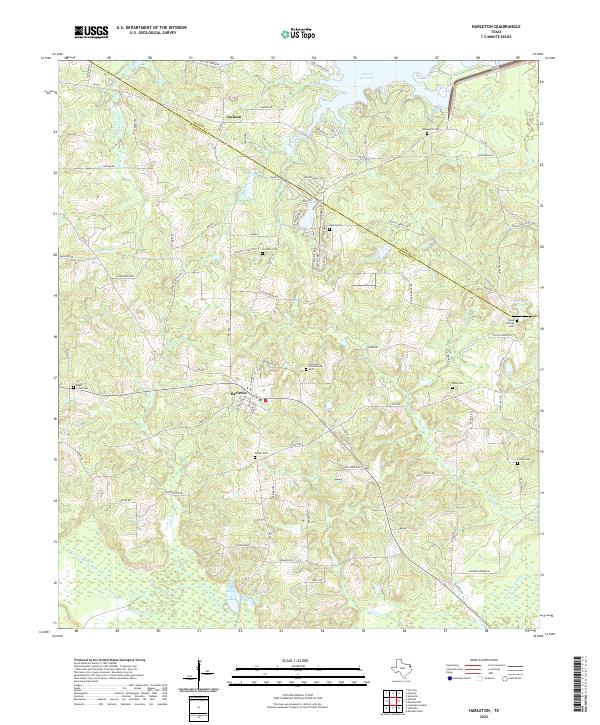
2022 Harleton
Harrison County, TX
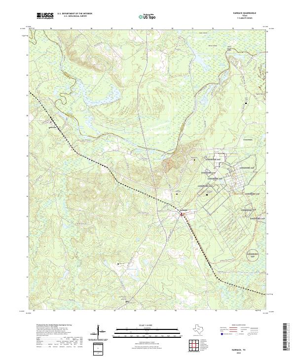
2022 Karnack
Harrison County, TX
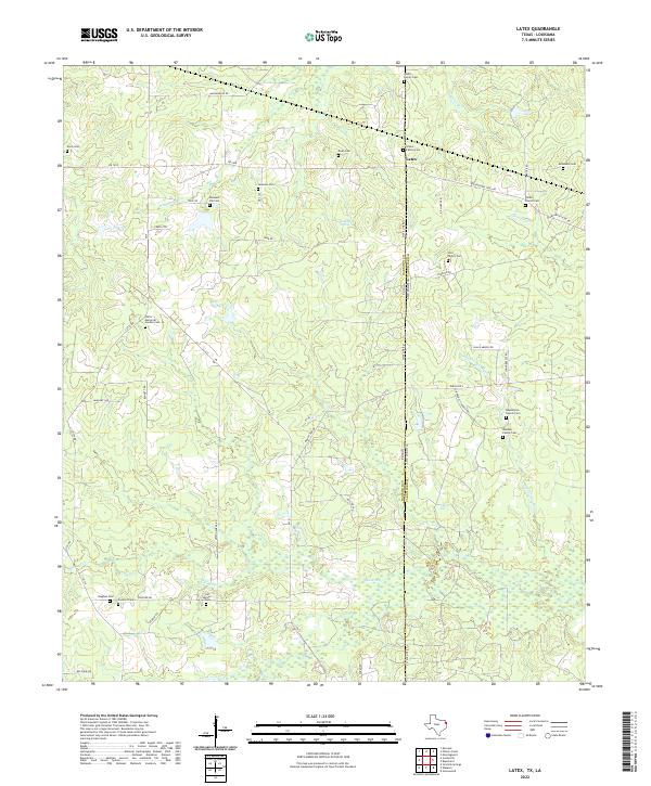
2022 Latex
Harrison County, TX
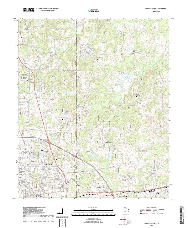
2022 Longview Heights
Harrison County, TX
2022 Marshall East
Harrison County, TX
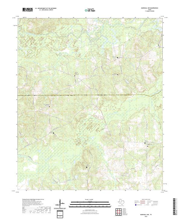
2022 Marshall NW
Harrison County, TX
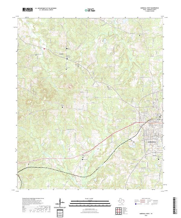
2022 Marshall West
Harrison County, TX
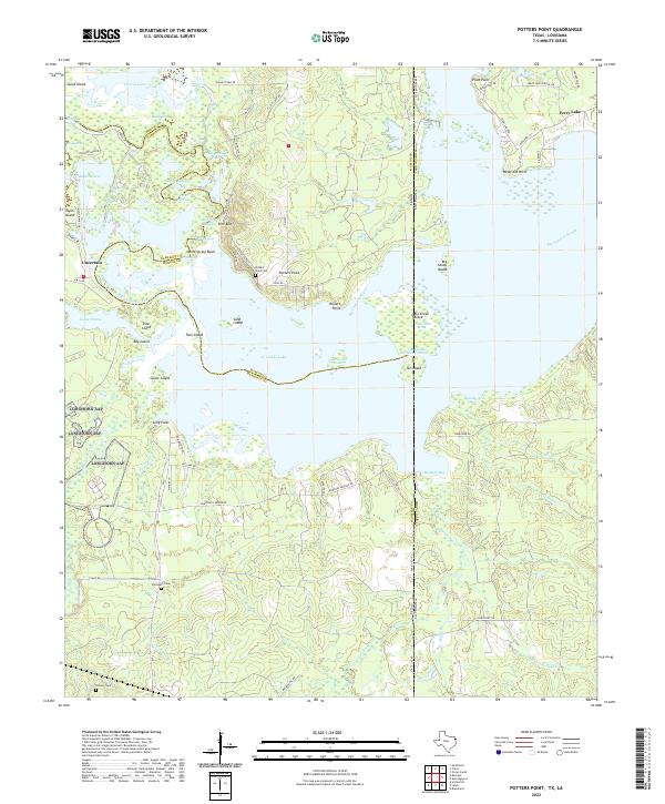
2022 Potters Point
Harrison County, TX
2022 Stricklin Springs
Harrison County, TX
2022 Woodlawn
Harrison County, TX