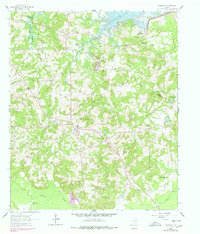
1961 Map of Harleton
USGS Topo · Published 1978About this map
Lake O' the Pines dominates the northern reaches of this Harrison County landscape, where the waters are held by the Ferrells Bridge Dam. The settlement of Harleton serves as a central hub for a network of country roads connecting numerous rural congregations and burial grounds. Genealogists can find several established landmarks such as Smyrna Ch, Oak Grove Ch, and the Eagle Creek Cem.
Find a feature on this map
35 named features on this map. Tap any name to fly to it.
Don’t see what you’re looking for? This feature index may not catch every label — zoom into the map to look around manually.
Map Details
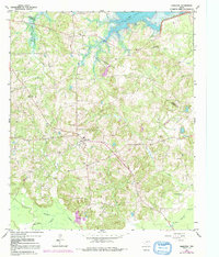
Editions of this 1961 Harleton Map
3 editions found
Other maps of this area

1956 · Tyler
USGS Topo · 1:250,000

1961 · Hallsville
USGS Topo · 1:24,000

1961 · Lassater
USGS Topo · 1:24,000

1961 · Harleton
USGS Topo · 1:24,000

1962 · Kellyville
USGS Topo · 1:24,000

1962 · Marshall NW
USGS Topo · 1:24,000

1962 · Marshall West
USGS Topo · 1:24,000

1962 · Ashland
USGS Topo · 1:24,000

1962 · Longview Heights
USGS Topo · 1:24,000

1962 · Ore City
USGS Topo · 1:24,000