
1961 Map of Hallsville
USGS Topo · Published 1964About this map
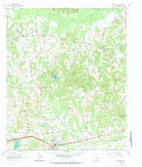
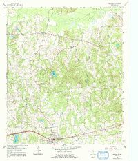
Hallsville serves as the primary hub of this East Texas landscape, centered on the Texas and Pacific railroad line that cuts through the southern reaches of Harrison County. The area’s settlement pattern is defined by a network of rural communities and country churches, including Carterville, Mulberry Springs, and Noonday. The terrain is deeply etched by a series of drainage systems like Little Cypress Bayou and Moccasin Creek, which create a complex topography of ridges and bottoms.
Find a feature on this map
36 named features on this map. Tap any name to fly to it.
Don’t see what you’re looking for? This feature index may not catch every label — zoom into the map to look around manually.
Map Details
Editions of this 1961 Hallsville Map
3 editions found
Other maps of this area

1956 · Tyler
USGS Topo · 1:250,000

1958 · Darco
USGS Topo · 1:62,500

1958 · Tatum
USGS Topo · 1:62,500

1961 · Harleton
USGS Topo · 1:24,000

1962 · Marshall NW
USGS Topo · 1:24,000

1962 · Marshall West
USGS Topo · 1:24,000

1962 · Ashland
USGS Topo · 1:24,000

1962 · Longview Heights
USGS Topo · 1:24,000

1983 · Easton
USGS Topo · 1:24,000
1983 · Lakeport
USGS Topo · 1:24,000