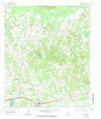
1961 Map of Hallsville
USGS Topo · Published 1984About this map
The Texas and Pacific railroad corridor anchors the southern landscape of this Harrison County region, passing directly through the community of Hallsville. At this time, the town center is well-defined by its High Sch, multiple churches, and a Cemetery. Moving north into the more creek-laced terrain, the map reveals a network of rural settlements and family landmarks including Noonday, Carterville, and Mulberry Springs. The land is heavily dissected by waterways such as Little Cypress Bayou and Gum Creek, which influenced early industry and local topography, evidenced by Walkers Mill and Mill Pond. Genealogists will find significant value in the distribution of country churches and burial grounds, from the Mt Pleasant Cem and Springhill Cem to the Athens Ch and Morris Chapel. This survey effectively captures the transition from small-town rail commerce to a landscape dominated by agricultural fields and scattered rural dwellings.
Find a feature on this map
39 named features on this map. Tap any name to fly to it.
Don’t see what you’re looking for? This feature index may not catch every label — zoom into the map to look around manually.
Map Details
Editions of this 1961 Hallsville Map
3 editions found
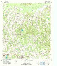
Other maps of this area

1956 · Tyler
USGS Topo · 1:250,000

1958 · Darco
USGS Topo · 1:62,500

1958 · Tatum
USGS Topo · 1:62,500

1961 · Hallsville
USGS Topo · 1:24,000

1961 · Harleton
USGS Topo · 1:24,000

1962 · Marshall NW
USGS Topo · 1:24,000

1962 · Marshall West
USGS Topo · 1:24,000

1962 · Ashland
USGS Topo · 1:24,000

1962 · Longview Heights
USGS Topo · 1:24,000

1983 · Easton
USGS Topo · 1:24,000