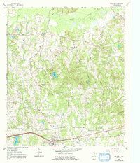
1961 Map of Hallsville
USGS Topo · Published 1992About this map
Hallsville serves as the primary hub in this eastern Texas landscape, anchored by its High Sch and the surrounding road network just before the region's mid-century modernization fully took hold. The terrain is defined by the winding course of Little Cypress Bayou to the north and numerous seasonal drainages like Sewells Creek and Wards Creek. This 1961 field-checked map captures several small, distinct communities and church-centered settlements, including Mulberry Springs, Carterville, and Walkers Mill. Genealogists will find significant value in the detailed plotting of local landmarks such as Mt Pleasant Cem and the adjacent Mt Pleasant Sch, alongside Mission Point Ch and Evergreen Ch. These rural points of interest, together with scattered Radio Towers, reflect a period where agriculture and local industry like the Mill Pond still dictated the movement of residents across Harrison County.
Find a feature on this map
37 named features on this map. Tap any name to fly to it.
Don’t see what you’re looking for? This feature index may not catch every label — zoom into the map to look around manually.
Map Details
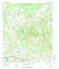
Editions of this 1961 Hallsville Map
3 editions found
Other maps of this area

1956 · Tyler
USGS Topo · 1:250,000

1958 · Darco
USGS Topo · 1:62,500

1958 · Tatum
USGS Topo · 1:62,500

1961 · Hallsville
USGS Topo · 1:24,000

1961 · Harleton
USGS Topo · 1:24,000

1962 · Marshall NW
USGS Topo · 1:24,000

1962 · Marshall West
USGS Topo · 1:24,000

1962 · Ashland
USGS Topo · 1:24,000

1962 · Longview Heights
USGS Topo · 1:24,000

1983 · Easton
USGS Topo · 1:24,000