
1983 Map of Easton
USGS Topo · Published 1983About this map
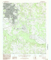
The Sabine River snakes through the bottomlands of this East Texas survey, defining the meeting point of Harrison, Gregg, and Rusk counties. The landscape transitions from the residential blocks of Hallsville in the north to a complex network of wetland features along the river valley. Notable for its intricate riparian geography, the map identifies numerous specific backwater features such as Fish Trap Slough, Horseshoe Slough, and Puzzle Pool, alongside the curiously named Hut Horton Duck Pond. Local genealogy is anchored by the settlement of Easton and a rural Cem located near the headwaters of Clarks Creek. This 1980s provisional study records the region's hydraulic character before significant modern development, preserving the exact locations of family-named landmarks and the serpentine flow of Cherokee Bayou as it joins the primary river channel.
Find a feature on this map
22 named features on this map. Tap any name to fly to it.
Don’t see what you’re looking for? This feature index may not catch every label — zoom into the map to look around manually.
Map Details
Editions of this 1983 Easton Map
This is the sole edition of this map. No revisions or reprints were ever made.
Other maps of this area

1956 · Tyler
USGS Topo · 1:250,000

1958 · Darco
USGS Topo · 1:62,500

1958 · Tatum
USGS Topo · 1:62,500

1961 · Hallsville
USGS Topo · 1:24,000

1962 · Marshall West
USGS Topo · 1:24,000

1962 · Longview Heights
USGS Topo · 1:24,000

1983 · Tatum
USGS Topo · 1:24,000

1983 · Harris Chapel
USGS Topo · 1:24,000
1983 · Lakeport
USGS Topo · 1:24,000
1983 · Elderville
USGS Topo · 1:24,000