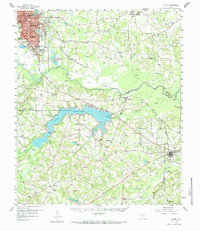
1983 Map of Tatum
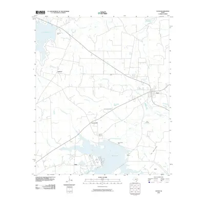
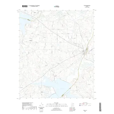
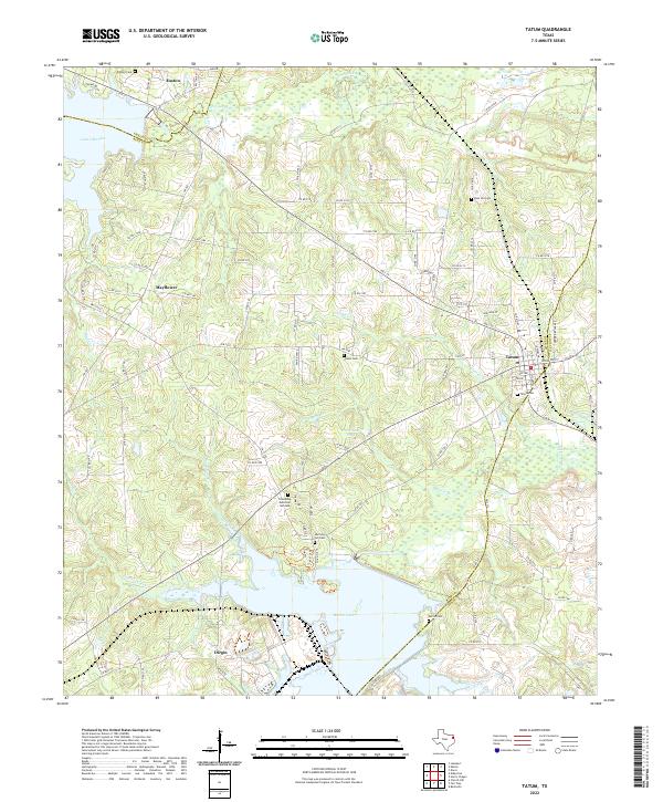
USGS Topo · Published 1983About this map
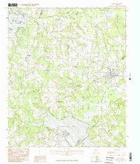
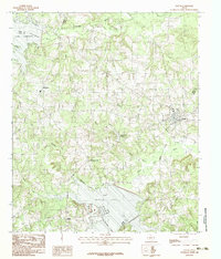
Tatum sits at the convergence of Rusk and Panola counties, serving as a hub for the surrounding piney woods and creek-carved landscape. This survey, based on 1970s field data, shows a region defined by its water resources, with Lake Cherokee touching the northern boundary and the southern landscape anchored by the expansive Martin Lake. The inclusion of Martin Lake State Park and the Rodeo Grounds near the town center indicates a community balanced between industrial infrastructure and local recreation. Smaller settlements like Harmony Hill and Mayflower are documented along the winding network of roads that navigate the local hydrology, including Tatum Creek and Taylor Branch. The topography shifts into more distinct elevations toward the southeast, where The Sand Hills rise above the drainage of Hogan Creek. Industrial and utility features such as the Pumping Sta and Water Inject Plant reveal the working character of this East Texas terrain.
Find a feature on this map
25 named features on this map. Tap any name to fly to it.
Don’t see what you’re looking for? This feature index may not catch every label — zoom into the map to look around manually.
Map Details
Editions of this 1983 Tatum Map
2 editions found
Historical Maps of Easton Through Time
7 maps found