
1962 Map of Ore City
USGS Topo · Published 1964About this map
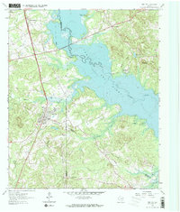
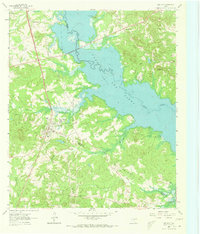
Ore City serves as the focal point of this East Texas survey, situated just west of the sprawling waters of Lake O' the Pines. The map captures a transitional landscape where the natural course of Big Cypress Creek meets the controlled waters of the reservoir at its normal pool elevation. This era shows a growing recreational infrastructure along the shoreline, evidenced by the establishment of Warners Landing Campground, Pops Landing Campgrounds, and Pine Hill Campgrounds.
Find a feature on this map
34 named features on this map. Tap any name to fly to it.
Don’t see what you’re looking for? This feature index may not catch every label — zoom into the map to look around manually.
Map Details
Editions of this 1962 Ore City Map
Other maps of this area

1956 · Tyler
USGS Topo · 1:250,000

1960 · Coffeeville
USGS Topo · 1:24,000

1960 · Glenwood
USGS Topo · 1:24,000

1960 · La Fayette
USGS Topo · 1:24,000

1961 · Lassater
USGS Topo · 1:24,000

1961 · Harleton
USGS Topo · 1:24,000

1962 · Ashland
USGS Topo · 1:24,000

1962 · Avinger
USGS Topo · 1:24,000

1962 · Lone Star
USGS Topo · 1:24,000

1984 · Tyler
USGS Topo · 1:250,000