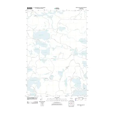
2010 Map of White Sand Lake
USGS Topo · Published 2010About this map
White Sand Lake dominates the northern landscape of this Wisconsin lakeland survey, where a complex network of glacial water bodies and meandering creeks defines the geography. To the north, the Manitowish River is regulated by the Fishtrap IWP1565 Dam, reflecting the early 21st-century water management and recreation infrastructure of Vilas County. The map details a transition from significant basins like Big Muskellunge Lake and Star Lake to smaller, more secluded waters such as Mystery Lake and Lost Canoe Lake.
Find a feature on this map
59 named features on this map. Tap any name to fly to it.
Don’t see what you’re looking for? This feature index may not catch every label — zoom into the map to look around manually.
Map Details
Editions of this 2010 White Sand Lake Map
This is the sole edition of this map. No revisions or reprints were ever made.
Other maps of this area

1930 · Robbins
USGS Topo · 1:48,000

1938 · Minocqua
USGS Topo · 1:48,000

1938 · Robbins
USGS Topo · 1:48,000

1939 · Trout Lake
USGS Topo · 1:48,000

1945 · Robbins
USGS Topo · 1:48,000

1946 · Star Lake
USGS Topo · 1:48,000

1946 · Minocqua
USGS Topo · 1:48,000

1946 · Trout Lake
USGS Topo · 1:48,000

1949 · Trout Lake
USGS Topo · 1:48,000

1949 · Minocqua
USGS Topo · 1:48,000