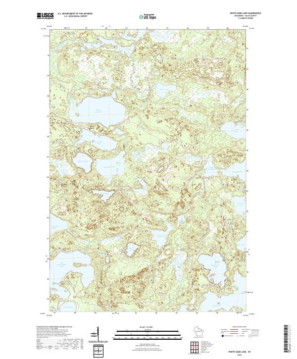
2022 Map of White Sand Lake
USGS Topo · Published 2022About this map
White Sand Lake and the winding Manitowish River define this glacial landscape in Vilas County. This modern survey illustrates a region dominated by interconnected waterways and protected lands, where small lakes like Lost Canoe Lake, Pallette Lake, and Escanaba Lake are separated by narrow ridges and dense forest cover. The hydrology of the area is intricate, with White Sand Creek and Allequash Creek feeding into larger basins, while Allequash Springs serves as a notable natural point of interest for those studying the local water table. A network of primitive and secondary roads, such as Co Hwy K and Escanaba Lake Rd, provides access to the shorelines of Nixon Lake and Starrett Lake. The map reveals a transition between established thoroughfares and remote logging tracks, reflecting the area's history as a destination for seasonal recreation and timber management.
Find a feature on this map
65 named features on this map. Tap any name to fly to it.
Don’t see what you’re looking for? This feature index may not catch every label — zoom into the map to look around manually.
Map Details
Editions of this 2022 White Sand Lake Map
This is the sole edition of this map. No revisions or reprints were ever made.
Other maps of this area

1930 · Robbins
USGS Topo · 1:48,000

1938 · Minocqua
USGS Topo · 1:48,000

1938 · Robbins
USGS Topo · 1:48,000

1939 · Trout Lake
USGS Topo · 1:48,000

1945 · Robbins
USGS Topo · 1:48,000

1946 · Star Lake
USGS Topo · 1:48,000

1946 · Minocqua
USGS Topo · 1:48,000

1946 · Trout Lake
USGS Topo · 1:48,000

1949 · Trout Lake
USGS Topo · 1:48,000

1949 · Minocqua
USGS Topo · 1:48,000