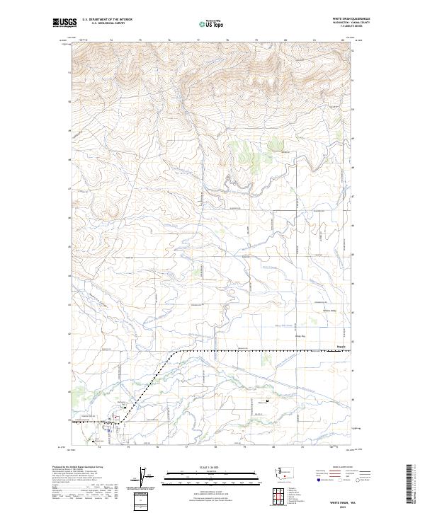
2023 Map of White Swan
USGS Topo · Published 2023About this map
White Swan sits at the base of the foothills where the high desert meets the irrigated plains of the Yakima Valley. This 2023 survey illustrates an intricate network of water management, where the West Unit One Highline Canal and the Main Canal Extension redistribute water from natural flows like Simcoe Creek and Toppenish Creek to support the region's agriculture. This reliance on a complex system of laterals, such as the Ayres Lateral and Indian Lateral, highlights the modern human engineering required to sustain life in the arid Medicine Valley. For genealogists and local historians, the map preserves the locations of vital community landmarks, including Methodist Cem, Saint Marys Cem, and Shaker Cem, which serve as physical anchors for the area's diverse cultural heritage. The small settlement of Rupple and family-named roads like Barkes Rd and Stephenson Rd further reflect the long-standing land-use patterns of the Yakima County interior.
Find a feature on this map
62 named features on this map. Tap any name to fly to it.
Don’t see what you’re looking for? This feature index may not catch every label — zoom into the map to look around manually.
Map Details
Editions of this 2023 White Swan Map
This is the sole edition of this map. No revisions or reprints were ever made.
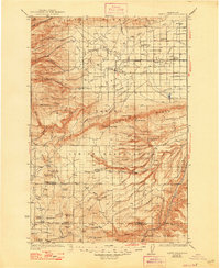
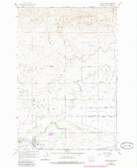
Historical Maps of Yakima County Through Time
3 maps found