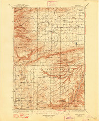
1937 Map of White Swan
USGS Topo · Published 1947About this map
The Yakima Indian Reservation dominates this mid-1930s landscape, illustrating the intersection of established tribal lands and the developing agricultural infrastructure of the Yakima Valley. The Northern Pacific Railway reaches into the valley's northeastern corner, serving the small agricultural hubs of White Swan, Brownstown, and Harrah. This rail connection, combined with a network of canals and lateral ditches feeding off Toppenish Creek, reveals the early 20th-century push to transform the arid shrub-steppe into productive farmland.
Find a feature on this map
76 named features on this map. Tap any name to fly to it.
Don’t see what you’re looking for? This feature index may not catch every label — zoom into the map to look around manually.
Map Details
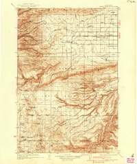
Editions of this 1937 White Swan Map
3 editions found

Other maps of this area

1899 · Ellensburg
USGS Topo · 1:125,000

1901 · Ellensburg
USGS Topo · 1:125,000

1902 · Mount Aix
USGS Topo · 1:125,000

1904 · Mt Aix
USGS Topo · 1:125,000

1904 · Mount Adams
USGS Topo · 1:125,000

1907 · Mount Adams
USGS Topo · 1:125,000

1910 · Zillah
USGS Topo · 1:125,000

1916 · Arlington
USGS Topo · 1:125,000

1934 · The Dalles
USGS Topo · 1:125,000

1936 · Yakima East
USGS Topo · 1:48,000