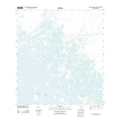
2012 Map of Whitewater Bay East
USGS Topo · Published 2012About this map
Whitewater Bay dominates the western portion of this Monroe County landscape, where the labyrinthine waterways of the Florida coast meet the mainland's drainage systems. The intricate network of tidal channels and river mouths is defined by the Watson River and North River, which flow into the expansive bay through a series of fragmented islands and mangrove-lined banks. This environment, characterized by its constant state of flux between fresh and saltwater, is marked by specific navigational points like Midway Pass and the low-lying Midway Keys.
Find a feature on this map
9 named features on this map. Tap any name to fly to it.
Don’t see what you’re looking for? This feature index may not catch every label — zoom into the map to look around manually.
Map Details
Editions of this 2012 Whitewater Bay East Map
This is the sole edition of this map. No revisions or reprints were ever made.
Other maps of this area

1956 · Miami
USGS Topo · 1:250,000

1958 · Miami
USGS Topo · 1:250,000

1972 · Whitewater Bay West
USGS Topo · 1:24,000

1972 · Whitewater Bay East
USGS Topo · 1:24,000

1972 · Mahogany Hammock
USGS Topo · 1:24,000

1972 · Harney River
USGS Topo · 1:24,000

1972 · Lake Ingraham East
USGS Topo · 1:24,000

1972 · West Lake
USGS Topo · 1:24,000

1972 · Tarpon Bay
USGS Topo · 1:24,000

1972 · Pa Hay Okee Lookout Tower
USGS Topo · 1:24,000