2021 Map of Whitewater
USGS Topo · Published 2021About this map
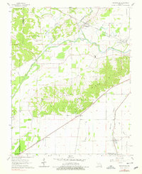
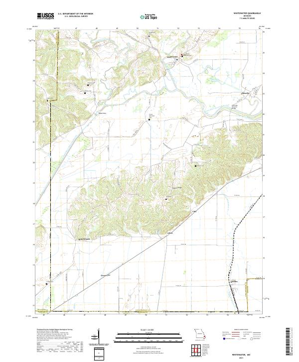
Whitewater and Allenville sit within a landscape defined by complex water management and rural burial grounds along the border of Cape Girardeau and Scott counties. The Castor River Diversion Channel cuts across the terrain, a major engineering feature designed to control the hydrology of the lowlands, while the Allenville Covered Bridge remains a distinct landmark spanning Upper Whitewater Cr. The settlement pattern is largely dictated by the upland rises, such as Hickory Ridge and Turkey Ridge, which provided stable ground for farmsteads and numerous family cemeteries. Genealogists will find a high density of documented burial sites, including Stroderville Cem, Passover Cem, and Hitt Cem, reflecting generations of inhabitancy. Smaller rail-adjacent or crossroads communities like Arbor, Randles, and Green Cox anchor the southern portion of the map, connected by a network of state highways and county roads through the river valleys.
Find a feature on this map
81 named features on this map. Tap any name to fly to it.
Don’t see what you’re looking for? This feature index may not catch every label — zoom into the map to look around manually.
Map Details
Editions of this 2021 Whitewater Map
This is the sole edition of this map. No revisions or reprints were ever made.