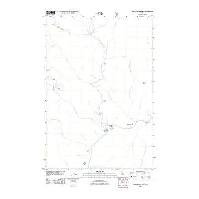
2011 Map of Whitewater Ranch
USGS Topo · Published 2011About this map
Whitewater Ranch and the adjacent Whitewater Campground anchor this remote section of the Salmon River canyon in Idaho County. The landscape is defined by the river’s winding course and its many named alluvial bars, including Kenmitzer Bar, Big Mallard Creek Bar, and Yellow Pine Bar. These river-level features contrast with the high vantage points of Vitta Point and Bat Point, which overlook a complex drainage network. Water is the primary architect here, with Big Mallard Creek feeding into the main river after passing through Mallard Creek Falls. Access is limited to the winding path of Big Mallard Creek Rd, which traces the steep terrain down toward the ranch and the various river bars used by travelers and river runners.
Find a feature on this map
34 named features on this map. Tap any name to fly to it.
Don’t see what you’re looking for? This feature index may not catch every label — zoom into the map to look around manually.
Map Details
Editions of this 2011 Whitewater Ranch Map
This is the sole edition of this map. No revisions or reprints were ever made.
Other maps of this area

1956 · Elk City
USGS Topo · 1:250,000

1960 · Elk City
USGS Topo · 1:250,000

1974 · Meadow Of Doubt
USGS Topo · 1:24,000

1977 · Boston Mtn
USGS Topo · 1:24,000

1978 · Moose Butte
USGS Topo · 1:24,000

1978 · Hida Point
USGS Topo · 1:24,000

1978 · Trapper Creek
USGS Topo · 1:24,000

1979 · Dixie
USGS Topo · 1:24,000

1979 · Fivemile Bar
USGS Topo · 1:24,000
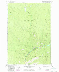
1979 · Whitewater Ranch
USGS Topo · 1:24,000