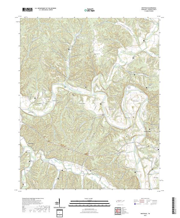
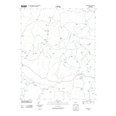
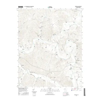
2022 Map of Whitfield
USGS Topo · Published 2022About this map
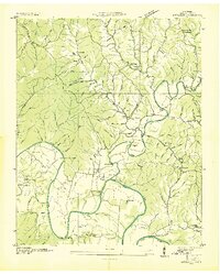
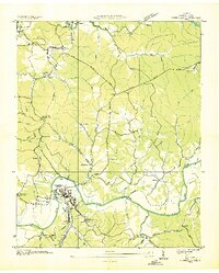
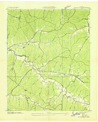
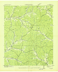
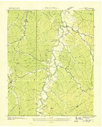
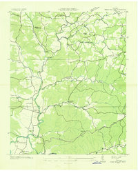
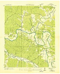
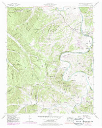
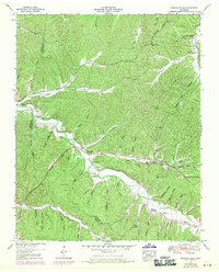
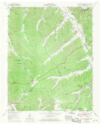
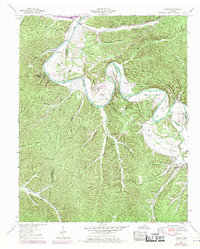
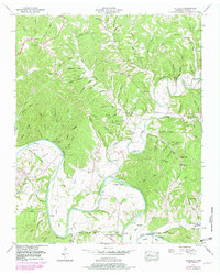
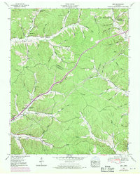
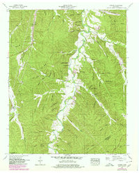
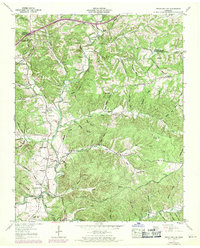
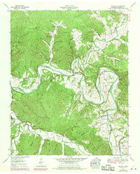
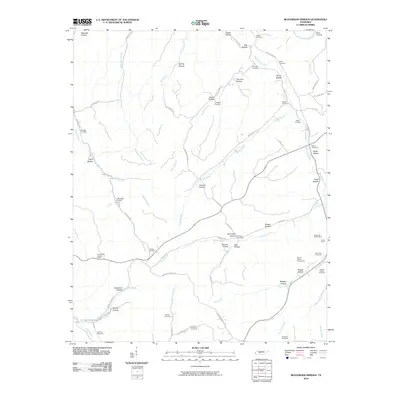
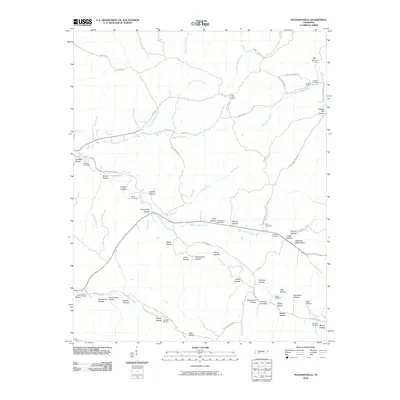
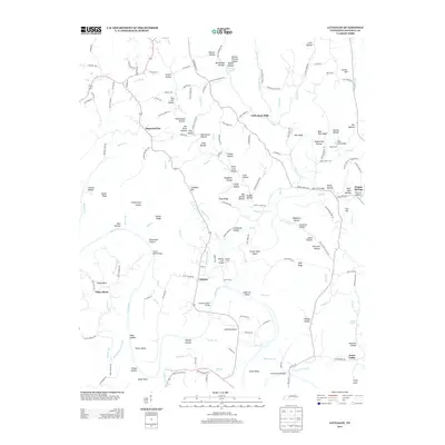
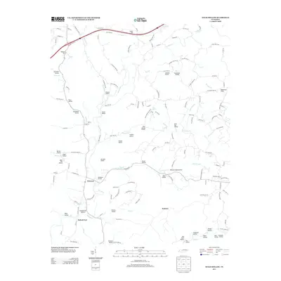
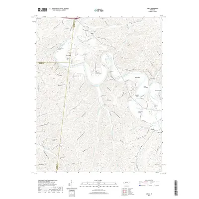
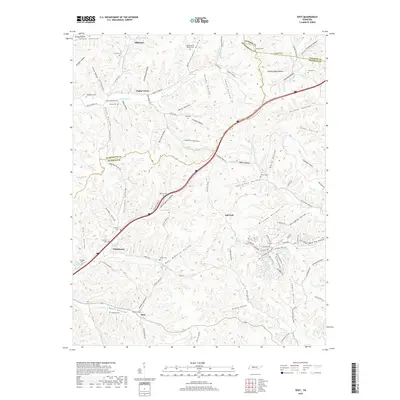
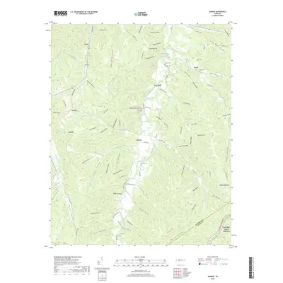
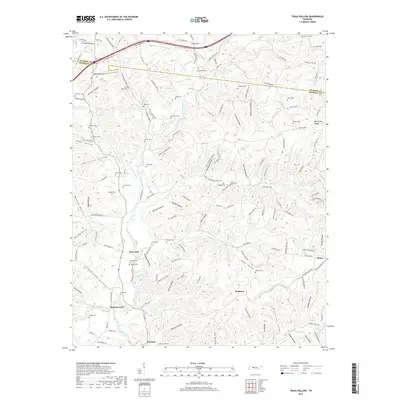
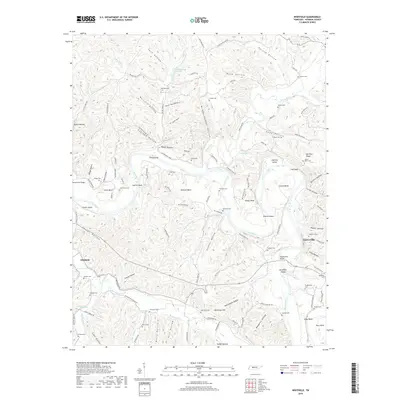
Duck River and Piney River meander through this Hickman County landscape, defining a series of dramatic landforms and river-bottom settlements. The topography is characterized by intricate bends and shoals, including Lowe Bend, Whitson Bend, and the distinctive Council Bend. These riverside areas provided fertile ground for communities like Whitfield, Centerville, and Shipp Bend. The map reveals a dense network of family-named hollows and cemeteries, such as Hassell Cem, Lancaster Cem, and Fowkes Cem, which offer significant value for genealogical research. Landforms like Field Island, Lovett Island, and Carothers Island punctuate the river channels, while numerous springs such as Oil Spring and Weatherspoon Spring suggest the importance of local water sources. The transition from the high ridges of Mt Pillar Ridge to the deep recesses of Malugin Hollow and Spot Hollow illustrates the complex drainage patterns of the Tennessee Highland Rim.
Find a feature on this map
124 named features on this map. Tap any name to fly to it.
Don’t see what you’re looking for? This feature index may not catch every label — zoom into the map to look around manually.
Map Details
Editions of this 2022 Whitfield Map
This is the sole edition of this map. No revisions or reprints were ever made.
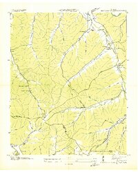
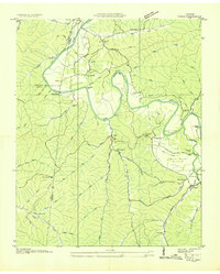
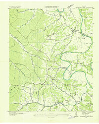
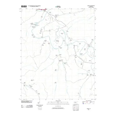
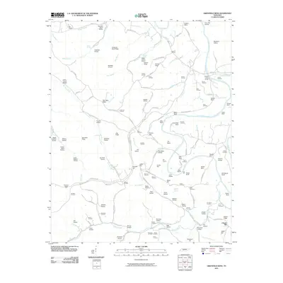
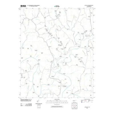
Historical Maps of Centerville Through Time
64 maps found
1936 Beaverdam Springs
Hickman County, TN
1936 Coble
Hickman County, TN
1936 Greenfield Bend
Hickman County, TN
1936 Littlelot
Hickman County, TN
1936 Nunnelly
Hickman County, TN
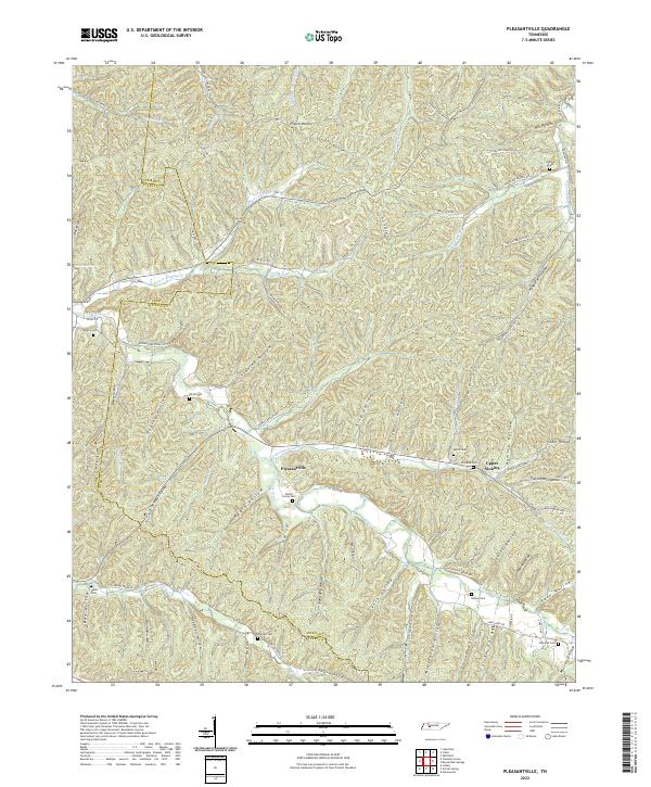
1936 Pleasantville
Hickman County, TN
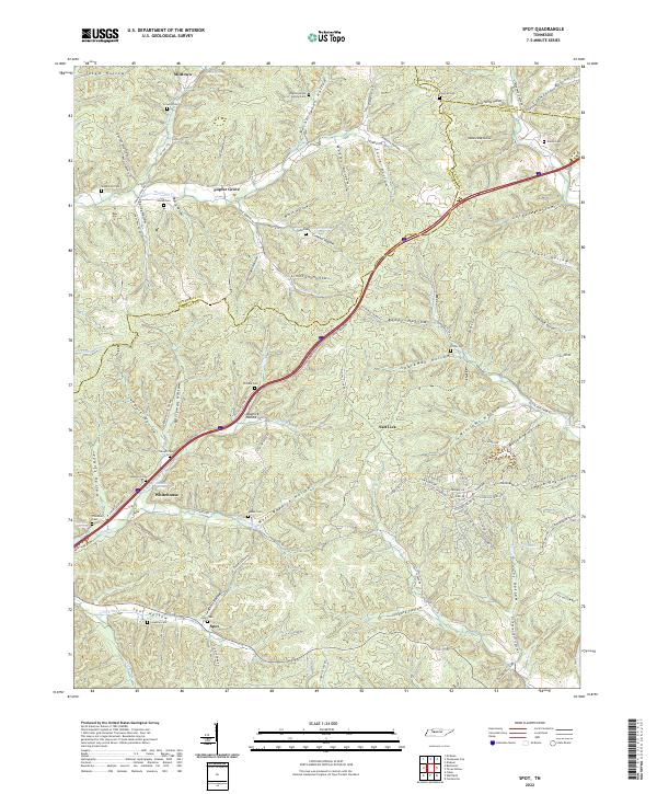
1936 Spot
Hickman County, TN
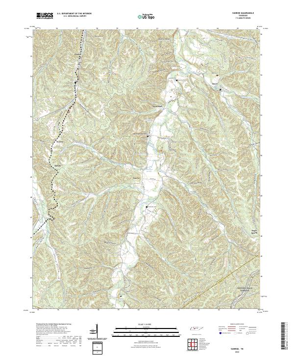
1936 Sunrise
Hickman County, TN
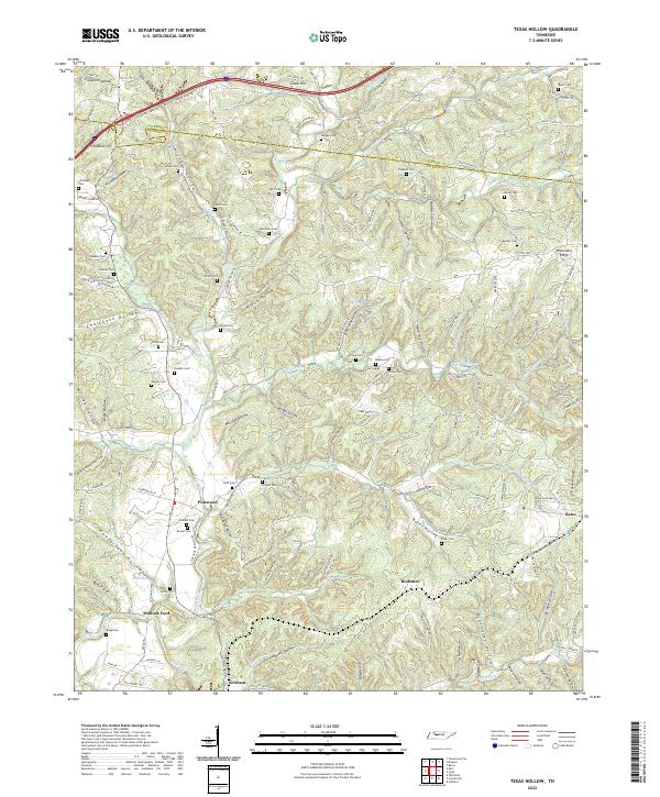
1936 Texas Hollow
Hickman County, TN
1936 Whitfield
Hickman County, TN
1951 Greenfield Bend
Hickman County, TN
1951 Pleasantville
Hickman County, TN
1952 Beaverdam Springs
Hickman County, TN
1952 Coble
Hickman County, TN
1952 Littlelot
Hickman County, TN
1952 Spot
Hickman County, TN
1952 Sunrise
Hickman County, TN
1952 Texas Hollow
Hickman County, TN
1952 Whitfield
Hickman County, TN
2010 Beaverdam Springs
Hickman County, TN
2010 Coble
Hickman County, TN
2010 Greenfield Bend
Hickman County, TN
2010 Littlelot
Hickman County, TN
2010 Pleasantville
Hickman County, TN
2010 Spot
Hickman County, TN
2010 Sunrise
Hickman County, TN
2010 Texas Hollow
Hickman County, TN
2010 Whitfield
Hickman County, TN
2013 Beaverdam Springs
Hickman County, TN
2013 Coble
Hickman County, TN
2013 Greenfield Bend
Hickman County, TN
2013 Littlelot
Hickman County, TN
2013 Pleasantville
Hickman County, TN
2013 Spot
Hickman County, TN
2013 Sunrise
Hickman County, TN
2013 Texas Hollow
Hickman County, TN
2013 Whitfield
Hickman County, TN
2016 Beaverdam Springs
Hickman County, TN
2016 Coble
Hickman County, TN
2016 Greenfield Bend
Hickman County, TN
2016 Littlelot
Hickman County, TN
2016 Pleasantville
Hickman County, TN
2016 Spot
Hickman County, TN
2016 Sunrise
Hickman County, TN
2016 Texas Hollow
Hickman County, TN
2016 Whitfield
Hickman County, TN
2019 Beaverdam Springs
Hickman County, TN
2019 Coble
Hickman County, TN
2019 Greenfield Bend
Hickman County, TN
2019 Littlelot
Hickman County, TN
2019 Pleasantville
Hickman County, TN
2019 Spot
Hickman County, TN
2019 Sunrise
Hickman County, TN
2019 Texas Hollow
Hickman County, TN
2019 Whitfield
Hickman County, TN
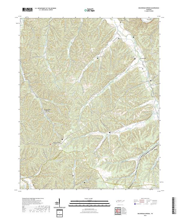
2022 Beaverdam Springs
Hickman County, TN
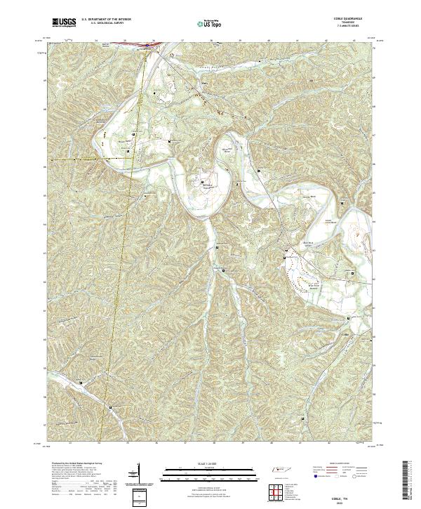
2022 Coble
Hickman County, TN
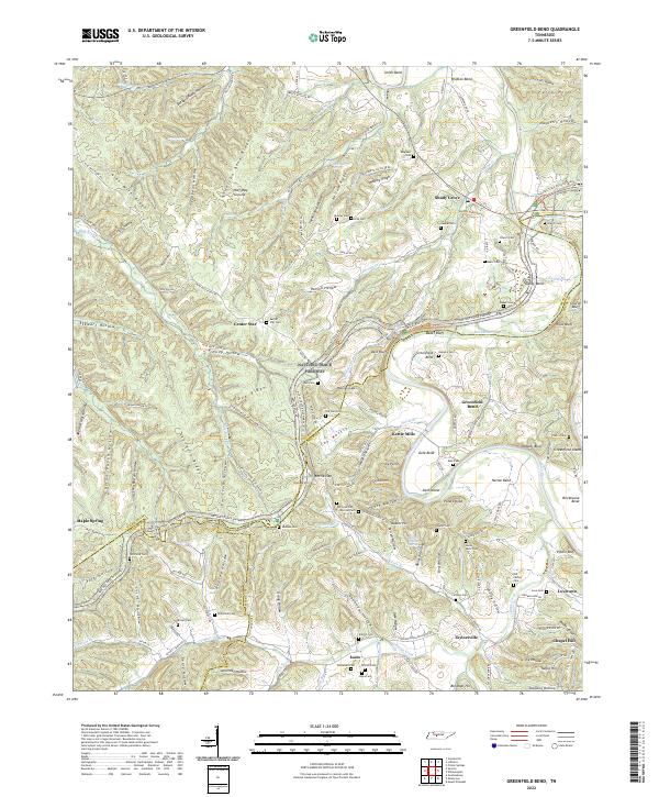
2022 Greenfield Bend
Hickman County, TN
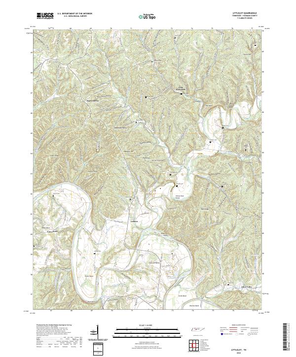
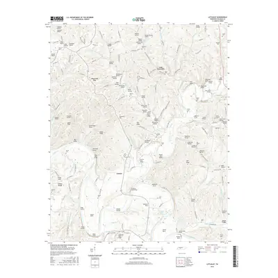
2022 Littlelot
Hickman County, TN
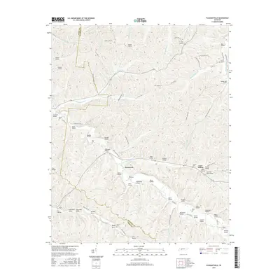
2022 Pleasantville
Hickman County, TN
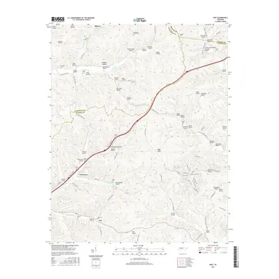
2022 Spot
Hickman County, TN
2022 Sunrise
Hickman County, TN
2022 Texas Hollow
Hickman County, TN
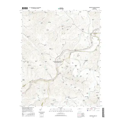
2022 Whitfield
Hickman County, TN