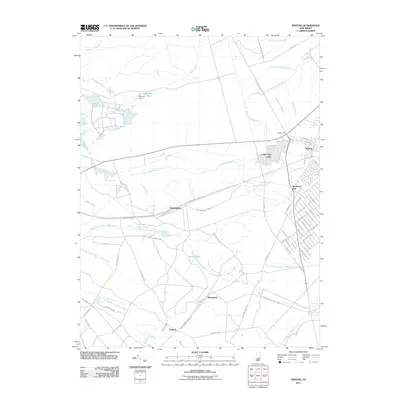
2011 Map of Whiting
USGS Topo · Published 2011About this map
Whiting serves as a central hub in this section of the Pine Barrens, where the developed grids of Roosevelt City and the retirement community of Cedar Glen Lakes meet the expansive woodlands of the Lebanon State Forest. The geography is defined by a complex network of slow-moving water, including the North Branch Mount Misery Brook and Pole Bridge Branch, which drain through the sandy soils. Small, historically significant points like Boyds Hotel and the settlement of Buckingham sit along routes like the Buckingham Whiting Rd, reflecting the area's long-standing connection between isolated crossroads and the larger region. To the north, the presence of the Lakehurst Naval Air Ctr and the Hanover Pond Dam at Hanover Pond highlight the managed landscape where military and civil infrastructure integrate with the natural cedar-swamp environment.
Find a feature on this map
70 named features on this map. Tap any name to fly to it.
Don’t see what you’re looking for? This feature index may not catch every label — zoom into the map to look around manually.
Map Details
Editions of this 2011 Whiting Map
This is the sole edition of this map. No revisions or reprints were ever made.
Other maps of this area

1884 · Whitings
USGS Topo · 1:62,500

1888 · Bordentown
USGS Topo · 1:62,500

1888 · Pemberton
USGS Topo · 1:62,500

1888 · Cassville
USGS Topo · 1:62,500

1888 · Whitings
USGS Topo · 1:62,500

1893 · Bordentown
USGS Topo · 1:62,500

1894 · Cassville
USGS Topo · 1:62,500

1894 · Pemberton
USGS Topo · 1:62,500

1898 · Pemberton
USGS Topo · 1:62,500

1900 · Cassville
USGS Topo · 1:62,500
Featured Places
- Jackson Township, NJ
- Manchester Township, NJ
- Lacey Township, NJ
- Plumsted Township, NJ
- Cedar Glen Lakes, Manchester Township