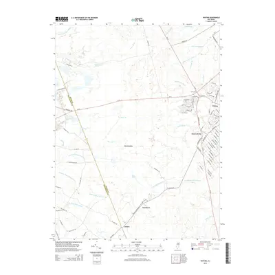
2014 Map of Whiting
USGS Topo · Published 2014About this map
Whiting and Roosevelt City serve as the primary residential hubs in this portion of the New Jersey Pine Barrens, where a grid of streets including Zeppelin Ave and Baltimore Ave meets the open forest. The landscape is defined by an intricate network of waterways like Pole Bridge Br and the various branches of Mount Misery Brook, including N Br Mount Misery Brook and S Br Mount Misery Brook.
Find a feature on this map
86 named features on this map. Tap any name to fly to it.
Don’t see what you’re looking for? This feature index may not catch every label — zoom into the map to look around manually.
Map Details
Editions of this 2014 Whiting Map
This is the sole edition of this map. No revisions or reprints were ever made.
Other maps of this area

1884 · Whitings
USGS Topo · 1:62,500

1888 · Bordentown
USGS Topo · 1:62,500

1888 · Pemberton
USGS Topo · 1:62,500

1888 · Cassville
USGS Topo · 1:62,500

1888 · Whitings
USGS Topo · 1:62,500

1893 · Bordentown
USGS Topo · 1:62,500

1894 · Cassville
USGS Topo · 1:62,500

1894 · Pemberton
USGS Topo · 1:62,500

1898 · Pemberton
USGS Topo · 1:62,500

1900 · Cassville
USGS Topo · 1:62,500
Featured Places
- Jackson Township, NJ
- Manchester Township, NJ
- Lacey Township, NJ
- Plumsted Township, NJ
- Cedar Glen Lakes, Manchester Township