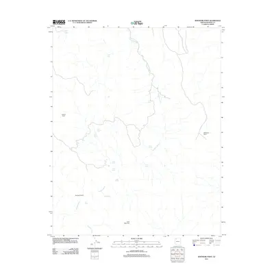
2011 Map of Whitmore Point
USGS Topo · Published 2011About this map
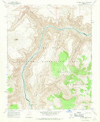
Whitmore Point and the high desert plateaus of Mohave County are defined here by a network of seasonal water sources and dry drainage systems. Parashant Wash winds through the landscape, serving as a primary corridor for a series of remote tanks and springs critical to the region's ranching and wildlife history. Named features like Slick Rock Tank, Show Pockets Tank, and Iverson Tank indicate the vital role of water catchment in this arid environment. The map reveals a land characterized by prominent landforms such as Lone Mountain and the deep incision of Andrus Canyon. Human presence is marked by isolated improvements and access roads leading to perennial points like Georges Spring and Shults Spring, while the northern reaches include the Grassie Point Reservoir, anchoring the local topography near the Grand Canyon-Parashant region.
Find a feature on this map
18 named features on this map. Tap any name to fly to it.
Don’t see what you’re looking for? This feature index may not catch every label — zoom into the map to look around manually.
Map Details
Editions of this 2011 Whitmore Point Map
This is the sole edition of this map. No revisions or reprints were ever made.
Other maps of this area

1886 · Mt. Trumbull
USGS Topo · 1:250,000

1892 · Mt. Trumbull
USGS Topo · 1:250,000

1953 · Grand Canyon
USGS Topo · 1:250,000

1957 · Grand Canyon
USGS Topo · 1:250,000

1958 · Grand Canyon
USGS Topo · 1:250,000

1960 · Grand Canyon
USGS Topo · 1:250,000
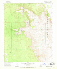
1967 · Yellow John Mtn.
USGS Topo · 1:24,000
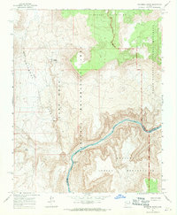
1967 · Whitmore Rapids
USGS Topo · 1:24,000
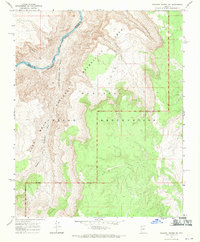
1967 · Vulcans Throne SW
USGS Topo · 1:24,000
1967 · Whitmore Point SE
USGS Topo · 1:24,000