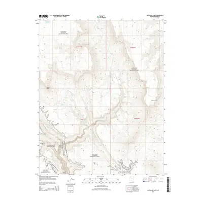
2014 Map of Whitmore Point
USGS Topo · Published 2014About this map
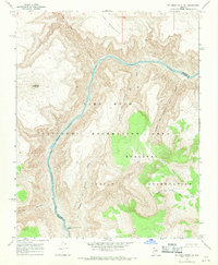
Grand Canyon National Park and the Lake Mead National Recreation Area converge in this high-desert landscape, where the dramatic verticality of the Arizona Strip is defined by massive plateaus and deep drainage systems. The terrain is marked by prominent overlooks such as Whitmore Point and Andrus Point, which tower over the winding path of Andrus Canyon and Parashant Canyon in the southern portion of the quadrangle.
Find a feature on this map
26 named features on this map. Tap any name to fly to it.
Don’t see what you’re looking for? This feature index may not catch every label — zoom into the map to look around manually.
Map Details
Editions of this 2014 Whitmore Point Map
This is the sole edition of this map. No revisions or reprints were ever made.
Other maps of this area

1886 · Mt. Trumbull
USGS Topo · 1:250,000

1892 · Mt. Trumbull
USGS Topo · 1:250,000

1953 · Grand Canyon
USGS Topo · 1:250,000

1957 · Grand Canyon
USGS Topo · 1:250,000

1958 · Grand Canyon
USGS Topo · 1:250,000

1960 · Grand Canyon
USGS Topo · 1:250,000
1967 · Yellow John Mtn.
USGS Topo · 1:24,000
1967 · Whitmore Rapids
USGS Topo · 1:24,000
1967 · Vulcans Throne SW
USGS Topo · 1:24,000
1967 · Whitmore Point SE
USGS Topo · 1:24,000