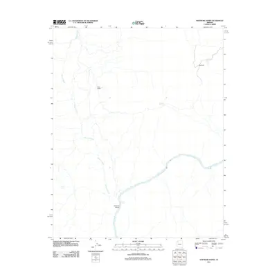
2011 Map of Whitmore Rapids
USGS Topo · Published 2011About this map
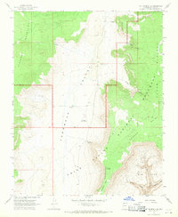
The Colorado River carves a deep path through this reach of northern Arizona, where the turbulent Whitmore Rapids define the river's character. The landscape is dominated by the convergence of drainage systems and high-desert terrain features, most notably where the long course of Whitmore Wash feeds into the main canyon. This 2011 survey captures the area's essential water sources and landmarks, including the isolated Cane Spring and Sage Flat Reservoir, which are vital points in an otherwise arid environment.
Find a feature on this map
8 named features on this map. Tap any name to fly to it.
Don’t see what you’re looking for? This feature index may not catch every label — zoom into the map to look around manually.
Map Details
Editions of this 2011 Whitmore Rapids Map
This is the sole edition of this map. No revisions or reprints were ever made.
Other maps of this area

1886 · Mt. Trumbull
USGS Topo · 1:250,000

1892 · Mt. Trumbull
USGS Topo · 1:250,000

1953 · Grand Canyon
USGS Topo · 1:250,000

1957 · Grand Canyon
USGS Topo · 1:250,000

1958 · Grand Canyon
USGS Topo · 1:250,000

1960 · Grand Canyon
USGS Topo · 1:250,000
1967 · Vulcans Throne
USGS Topo · 1:24,000
1967 · Whitmore Rapids
USGS Topo · 1:24,000
1967 · Vulcans Throne SE
USGS Topo · 1:24,000
1967 · Mt. Trumbull SE
USGS Topo · 1:24,000