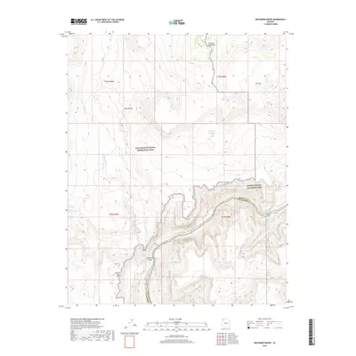
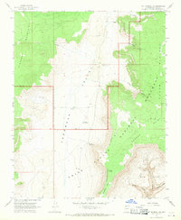
2018 Map of Whitmore Rapids
USGS Topo · Published 2018About this map
The Colorado River cuts deeply through the high desert of northern Arizona, defining the boundary between Mohave Co Coconino Co. This reach is characterized by the formidable Whitmore Rapids, a significant river feature situated at the southern terminus of Whitmore Canyon. The landscape transitions from the protected lands of Grand Canyon National Park in the southeast to the Lake Mead National Recreation Area to the west. On the higher plateaus, the terrain is marked by the Uinkaret Mountains and natural drainage systems like Whitmore Wash. Isolated water sources such as Cane Spring and the Sage Flat Reservoir represent critical landmarks in this arid environment, while named topographical features like Paws Pocket and The Cove provide reference points in the vast canyon country.
Find a feature on this map
16 named features on this map. Tap any name to fly to it.
Don’t see what you’re looking for? This feature index may not catch every label — zoom into the map to look around manually.
Map Details
Editions of this 2018 Whitmore Rapids Map
This is the sole edition of this map. No revisions or reprints were ever made.
Other maps of this area

1886 · Mt. Trumbull
USGS Topo · 1:250,000

1892 · Mt. Trumbull
USGS Topo · 1:250,000

1953 · Grand Canyon
USGS Topo · 1:250,000

1957 · Grand Canyon
USGS Topo · 1:250,000

1958 · Grand Canyon
USGS Topo · 1:250,000

1960 · Grand Canyon
USGS Topo · 1:250,000
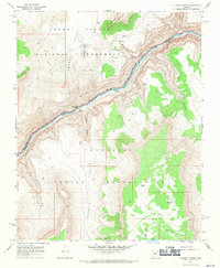
1967 · Vulcans Throne
USGS Topo · 1:24,000
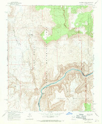
1967 · Whitmore Rapids
USGS Topo · 1:24,000
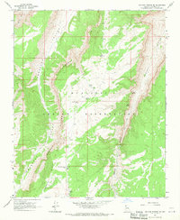
1967 · Vulcans Throne SE
USGS Topo · 1:24,000
1967 · Mt. Trumbull SE
USGS Topo · 1:24,000