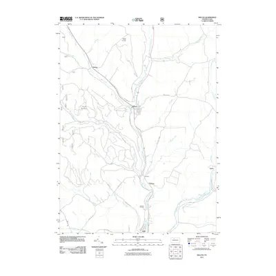
2011 Map of Wilcox
USGS Topo · Published 2011About this map
The West Branch Clarion River defines the central axis of this Elk County landscape, where the settlement of Wilcox serves as a local hub. The area's industrial character is shaped by resource extraction, evidenced by the Nansen Oil and Gas Field and the Mill Creek Oil and Gas Field. Moving south along the river valley, the geography transitions into a series of smaller residential and recreation-focused points, including the communities of Bridgetown, Tambine, and Rolfe. Local history is anchored by landmarks like the Wardville Cemetery and the recreational grounds of Bendigo State Park. The surrounding hills are etched with numerous waterways such as Wilson Run, Meffert Creek, and Silver Creek, which flow toward the Clarion River confluence. The network of forestry and local roads, like Long Level Rd and Old Kane Rd, provides access to the region's dense stream valleys and resource fields.
Find a feature on this map
42 named features on this map. Tap any name to fly to it.
Don’t see what you’re looking for? This feature index may not catch every label — zoom into the map to look around manually.
Map Details
Editions of this 2011 Wilcox Map
This is the sole edition of this map. No revisions or reprints were ever made.
Other maps of this area

1934 · Kane
USGS Topo · 1:48,000

1935 · Mt. Jewett
USGS Topo · 1:48,000

1939 · Kane
USGS Topo · 1:62,500

1940 · Hallton
USGS Topo · 1:48,000

1940 · Mt. Jewett
USGS Topo · 1:62,500

1941 · Ridgway
USGS Topo · 1:62,500

1943 · Hallton
USGS Topo · 1:62,500

1944 · Ridgway
USGS Topo · 1:62,500

1957 · Warren
USGS Topo · 1:250,000

1958 · Warren
USGS Topo · 1:250,000
Featured Places
- Saint Marys, PA
- Wilcox, Jones Township
- Dahoga, Jones Township
- Tambine, Jones Township
- Ketner, Jones Township