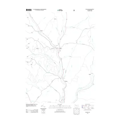
2013 Map of Wilcox
USGS Topo · Published 2013About this map
Wilcox serves as the central hub of this Elk County landscape, situated at the confluence of several vital watercourses including the W Br Clarion River and Wilson Run. The area's industrial character is defined by energy extraction, represented by the Nansen Oil and Gas Field to the north and the Mill Creek Oil and Gas Field to the west. Small settlements and former stops like Dahoga, Bridgetown, and Tambine dot the river valleys, reflecting a history of timber and resource movement along the Clarion's branches.
Find a feature on this map
48 named features on this map. Tap any name to fly to it.
Don’t see what you’re looking for? This feature index may not catch every label — zoom into the map to look around manually.
Map Details
Editions of this 2013 Wilcox Map
This is the sole edition of this map. No revisions or reprints were ever made.
Other maps of this area

1934 · Kane
USGS Topo · 1:48,000

1935 · Mt. Jewett
USGS Topo · 1:48,000

1939 · Kane
USGS Topo · 1:62,500

1940 · Hallton
USGS Topo · 1:48,000

1940 · Mt. Jewett
USGS Topo · 1:62,500

1941 · Ridgway
USGS Topo · 1:62,500

1943 · Hallton
USGS Topo · 1:62,500

1944 · Ridgway
USGS Topo · 1:62,500

1957 · Warren
USGS Topo · 1:250,000

1958 · Warren
USGS Topo · 1:250,000
Featured Places
- Saint Marys, PA
- Wilcox, Jones Township
- Dahoga, Jones Township
- Tambine, Jones Township
- Ketner, Jones Township