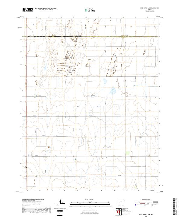
2022 Map of Wild Horse Lake
USGS Topo · Published 2022About this map
The settlement of Ivanhoe sits in the southwestern corner of this agricultural landscape, anchored by the Ivanhoe Cem just off US Route 83. The terrain is defined by a grid of county roads and section lines, with Wild Horse Lake serving as a primary hydrological landmark in the center-east. Spanning the border of Finney Co and Haskell Co, the map reveals a meticulously surveyed High Plains environment where water resources and property boundaries dictated the local development. Major corridors like E Haskell Co Line Rd and S Lightner Rd provide the framework for this rural community, illustrating the persistent importance of the section-line road network in Kansas history.
Find a feature on this map
34 named features on this map. Tap any name to fly to it.
Don’t see what you’re looking for? This feature index may not catch every label — zoom into the map to look around manually.
Map Details
Editions of this 2022 Wild Horse Lake Map
This is the sole edition of this map. No revisions or reprints were ever made.
Other maps of this area

1896 · Garden
USGS Topo · 1:125,000

1955 · Dodge City
USGS Topo · 1:250,000

1958 · Dodge City
USGS Topo · 1:250,000

1959 · Dodge City
USGS Topo · 1:250,000

1959 · Garden City 3 NW
USGS Topo · 1:24,000

1959 · Garden City 3 NE
USGS Topo · 1:24,000

1960 · Garden City SW
USGS Topo · 1:24,000

1960 · Garden City 3 SW
USGS Topo · 1:24,000

1960 · Garden City 3 SE
USGS Topo · 1:24,000

1960 · Plymell
USGS Topo · 1:24,000