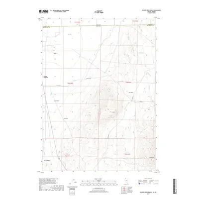
2018 Map of Wilder Creek Ranch
USGS Topo · Published 2018About this map
Pueblo Valley anchors this high-desert landscape on the border of Nevada and Oregon, where the small community of Denio and the nearby crossroads of Denio Junction serve as isolated outposts. The terrain is defined by dramatic elevation changes, from the low-lying Pueblo Slough and Spring Meadow in the west to the significant heights of Lone Mtn and Granite Mtn in the east.
Find a feature on this map
19 named features on this map. Tap any name to fly to it.
Don’t see what you’re looking for? This feature index may not catch every label — zoom into the map to look around manually.
Map Details
Editions of this 2018 Wilder Creek Ranch Map
This is the sole edition of this map. No revisions or reprints were ever made.
Other maps of this area

1886 · Disaster
USGS Topo · 1:250,000

1893 · Disaster
USGS Topo · 1:250,000

1954 · Vya
USGS Topo · 1:250,000

1955 · Adel
USGS Topo · 1:250,000

1957 · Adel
USGS Topo · 1:250,000

1958 · Vya
USGS Topo · 1:250,000

1958 · Adel
USGS Topo · 1:250,000

1961 · Trident Peak
USGS Topo · 1:62,500

1962 · Vya
USGS Topo · 1:250,000

1962 · Adel
USGS Topo · 1:250,000