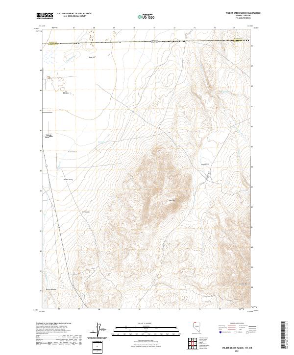
2021 Map of Wilder Creek Ranch
USGS Topo · Published 2021About this map
Denio and Denio Junction anchor the northwestern corner of this landscape along the border where Humboldt County meets the Oregon state line. The terrain transitions from the open flats of Pueblo Valley and the Pueblo Slough into a complex system of drainage and peaks to the east. High points like Lone Mtn and Granite Mtn overlook a series of seasonal and perennial water sources, including Spring Meadow, Mud Spring, and the branching forks of Wilder Cr.
Find a feature on this map
24 named features on this map. Tap any name to fly to it.
Don’t see what you’re looking for? This feature index may not catch every label — zoom into the map to look around manually.
Map Details
Editions of this 2021 Wilder Creek Ranch Map
This is the sole edition of this map. No revisions or reprints were ever made.
Other maps of this area

1886 · Disaster
USGS Topo · 1:250,000

1893 · Disaster
USGS Topo · 1:250,000

1954 · Vya
USGS Topo · 1:250,000

1955 · Adel
USGS Topo · 1:250,000

1957 · Adel
USGS Topo · 1:250,000

1958 · Vya
USGS Topo · 1:250,000

1958 · Adel
USGS Topo · 1:250,000

1961 · Trident Peak
USGS Topo · 1:62,500

1962 · Vya
USGS Topo · 1:250,000

1962 · Adel
USGS Topo · 1:250,000