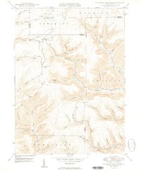
1950 Map of Wildwood Fire Tower
USGS Topo · Published 1950About this map
The high plateau of the Allegheny National Forest region is dominated by the Wildwood Fire Tower in this 1950 survey, which captures the rugged drainage basins at the intersection of Elk, McKean, and Cameron Counties. The terrain is deeply incised by a dense network of watercourses, including Straight Creek and the Driftwood Branch. To the north, the small outpost of Wellendorf Station sits along the Wellendorf Branch, serving as a rare point of human infrastructure in an otherwise remote landscape defined by named hollows and creek forks. Local geography is remarkably specific here, with family or descriptive names attached to even minor features such as Boy Scout Hollow, Dead Mans Luck, and Billy Buck Run. The map provides a detailed record of the township boundaries between Sergeant, Ship Pen, and Jones, showing how these political lines follow the high ridges between watersheds.
Find a feature on this map
47 named features on this map. Tap any name to fly to it.
Don’t see what you’re looking for? This feature index may not catch every label — zoom into the map to look around manually.
Map Details
Editions of this 1950 Wildwood Fire Tower Map
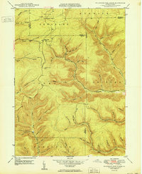
2 editions found
Other maps of this area

1935 · Mt. Jewett
USGS Topo · 1:48,000

1940 · Mt. Jewett
USGS Topo · 1:62,500

1941 · Benezette
USGS Topo · 1:62,500

1941 · Ridgway
USGS Topo · 1:62,500

1943 · Benezette
USGS Topo · 1:62,500

1944 · Ridgway
USGS Topo · 1:62,500

1948 · Crosby
USGS Topo · 1:62,500

1948 · Wildwood Fire Tower
USGS Topo · 1:24,000

1948 · Rich Valley
USGS Topo · 1:24,000

1948 · Norwich
USGS Topo · 1:24,000