1993 Map of Williams
USGS Topo · Published 1996About this map
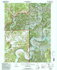
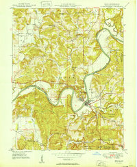
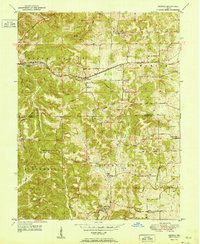
The East Fork White River carves a dramatic winding path through this portion of Lawrence and Martin Counties, defining the geography of Spice Valley and Mitcheltree. The small settlements of Williams and Silverville serve as local anchors, while the Chicago Milwaukee St Paul and Pacific railroad follows the river's northern bank and valley floor. This 1993 revision, based on earlier surveys, captures a landscape defined by significant public land holdings, including portions of the Hoosier National Forest, the Martin State Forest, and the extensive U S Naval Reservation Weapons Support Center to the north.
Find a feature on this map
30 named features on this map. Tap any name to fly to it.
Don’t see what you’re looking for? This feature index may not catch every label — zoom into the map to look around manually.
Map Details
Editions of this 1993 Williams Map
This is the sole edition of this map. No revisions or reprints were ever made.
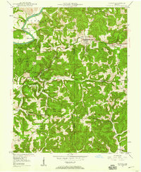
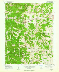
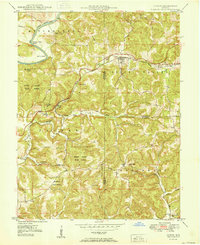
Other maps of this area

1935 · Oolitic
USGS Topo · 1:48,000

1942 · Oolitic
USGS Topo · 1:62,500
1948 · Huron
USGS Topo · 1:24,000
1949 · Georgia
USGS Topo · 1:24,000
1950 · Huron
USGS Topo · 1:24,000
1950 · Shoals
USGS Topo · 1:24,000
1951 · Georgia
USGS Topo · 1:24,000
1956 · Koleen
USGS Topo · 1:24,000
1956 · Indian Springs
USGS Topo · 1:24,000

1956 · Vincennes
USGS Topo · 1:250,000