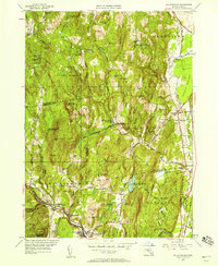
1948 Map of Williamsburg
USGS Topo · Published 1958About this map
The Mill River corridor anchors this post-war landscape, where the industrial heritage of the Williamsburg and Haydenville valleys meets the rugged upland terrain of the Conway State Forest. The presence of the Williamsburg Sta at the rail terminus highlights the village's historic role as a regional manufacturing hub, while the numerous upland reservoirs, including Northampton Reservoir and Mountain Street Reservoir, reflect the mid-century infrastructure required for local water management.
Find a feature on this map
81 named features on this map. Tap any name to fly to it.
Don’t see what you’re looking for? This feature index may not catch every label — zoom into the map to look around manually.
Map Details
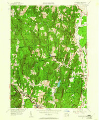
Editions of this 1948 Williamsburg Map
2 editions found
Other maps of this area

1885 · Northampton
USGS Topo · 1:62,500

1886 · Hawley
USGS Topo · 1:62,500

1886 · Chesterfield
USGS Topo · 1:62,500

1886 · Northampton
USGS Topo · 1:62,500

1888 · Chesterfield
USGS Topo · 1:62,500

1890 · Hawley
USGS Topo · 1:62,500

1890 · Greenfield
USGS Topo · 1:62,500

1891 · Northampton
USGS Topo · 1:62,500

1893 · Northampton
USGS Topo · 1:62,500

1893 · Chesterfield
USGS Topo · 1:62,500