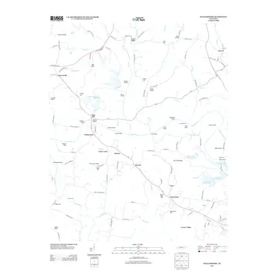
2013 Map of Williamsport
USGS Topo · Published 2013About this map
Duck River winds through this central Tennessee landscape, carving a path past numerous islands and bluffs including Greenfield Island, Dorsett Island, and Cave Bluff. The 2013 geography reveals a complex legacy of land use, where long-established settlements like Williamsport, Santa Fe, and Water Valley coexist with the industrial footprint of the regional phosphate industry. Large-scale water management is evident through several industrial features, such as Hooker Chemical Pond B and a series of designated tailings ponds, including Tailings Pond Number Twelve and Tailings Pond Number Nine.
Find a feature on this map
123 named features on this map. Tap any name to fly to it.
Don’t see what you’re looking for? This feature index may not catch every label — zoom into the map to look around manually.
Map Details
Editions of this 2013 Williamsport Map
This is the sole edition of this map. No revisions or reprints were ever made.
Other maps of this area

1901 · Colombia
USGS Topo · 1:125,000

1936 · Godwin
USGS Topo · 1:24,000

1936 · Williamsport
USGS Topo · 1:24,000

1936 · Primm
USGS Topo · 1:24,000

1936 · Mt Joy
USGS Topo · 1:24,000

1936 · Littlelot
USGS Topo · 1:24,000

1936 · Theta
USGS Topo · 1:24,000

1936 · Greenfield Bend
USGS Topo · 1:24,000

1936 · Mount Pleasant
USGS Topo · 1:24,000

1936 · Columbia
USGS Topo · 1:24,000