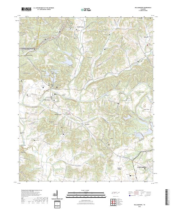
2022 Map of Williamsport
USGS Topo · Published 2022About this map
Williamsport and the winding Duck River anchor this topographic study of central Tennessee, where the Natchez Trace Parkway cuts across the northern ridges. The landscape is a network of family-named hollows and bluffs, reflecting a deeply rooted rural settlement pattern. Significant for genealogists, the map identifies numerous small burial grounds including Blackburn Cem, Akin Ridge Cem, and the McKennon Cem near Armour Village. The terrain is defined by the steep descent from Thompson Ridge and Akin Ridge toward the river bottoms, where settlements like Sawdust, Arkland, and Fikes Mill established themselves near water sources like Poplar Cr and Big Bigby Creek. Industrial presence is noted by specialized features like Hooker Chemical Pond B and Tailings Pond Number Nine near Gant, while the eastern edge reaches toward the outskirts of Columbia.
Find a feature on this map
141 named features on this map. Tap any name to fly to it.
Don’t see what you’re looking for? This feature index may not catch every label — zoom into the map to look around manually.
Map Details
Editions of this 2022 Williamsport Map
This is the sole edition of this map. No revisions or reprints were ever made.
Other maps of this area

1901 · Colombia
USGS Topo · 1:125,000

1936 · Godwin
USGS Topo · 1:24,000

1936 · Williamsport
USGS Topo · 1:24,000

1936 · Primm
USGS Topo · 1:24,000

1936 · Mt Joy
USGS Topo · 1:24,000

1936 · Littlelot
USGS Topo · 1:24,000

1936 · Theta
USGS Topo · 1:24,000

1936 · Greenfield Bend
USGS Topo · 1:24,000

1936 · Mount Pleasant
USGS Topo · 1:24,000

1936 · Columbia
USGS Topo · 1:24,000