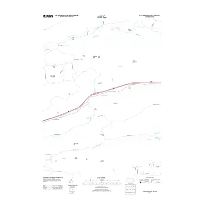
2013 Map of Williamsport SE
USGS Topo · Published 2013About this map
White Deer Valley serves as a prominent landmark in this upland landscape where the ridge-and-valley province of Pennsylvania is clearly defined by numerous gaps and knobs. The topography is dominated by a series of significant heights, including Potato Hill, Shoemaker Knob, and the prominent Buffalo Mountain to the south. This area is characterized by its heavy concentration of mountain passes, such as First Gap, Second Gap, and Third Gap, which historically dictated the movement of people and resources through the difficult terrain.
Find a feature on this map
69 named features on this map. Tap any name to fly to it.
Don’t see what you’re looking for? This feature index may not catch every label — zoom into the map to look around manually.
Map Details
Editions of this 2013 Williamsport SE Map
This is the sole edition of this map. No revisions or reprints were ever made.
Other maps of this area

1893 · Sunbury
USGS Topo · 1:62,500

1921 · Williamsport
USGS Topo · 1:48,000

1923 · Williamsport
USGS Topo · 1:62,500

1924 · Milton
USGS Topo · 1:62,500

1938 · Mifflinburg
USGS Topo · 1:48,000

1943 · Sunbury
USGS Topo · 1:62,500

1943 · Mifflinburg
USGS Topo · 1:62,500

1944 · Williamsport
USGS Topo · 1:62,500

1950 · Harrisburg
USGS Topo · 1:250,000
1953 · Mifflinburg
USGS Topo · 1:62,500
Featured Places
- White Deer Township, PA
- Buffalo Township, PA
- Washington Township, PA
- Lewis Township, PA
- Limestone Township, PA