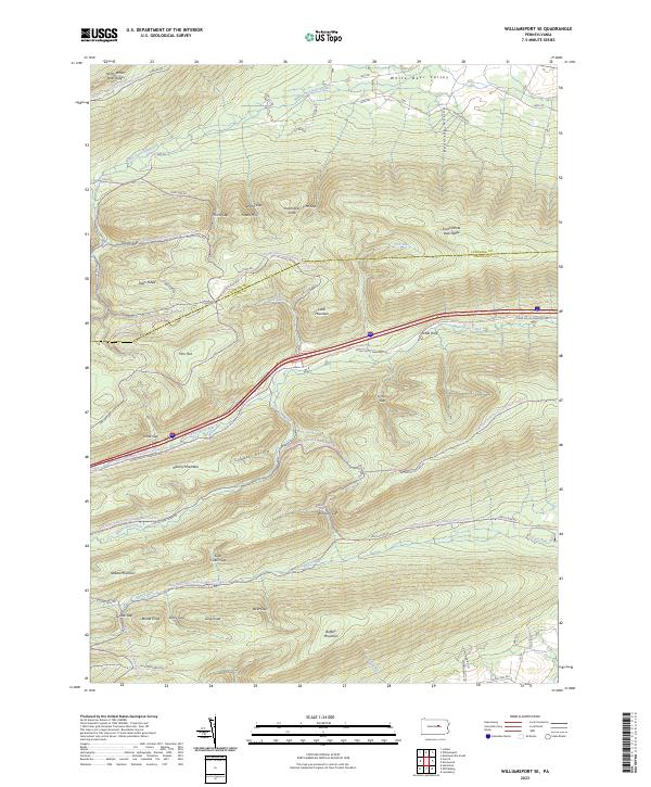
2023 Map of Williamsport SE
USGS Topo · Published 2023About this map
White Deer Valley and the surrounding ridges of the Bald Eagle and Tiadaghton State Forests define this landscape along the Lycoming and Union County line. The terrain is characterized by a series of prominent gaps and knobs, including Shoemaker Knob, Potato Hill, and Lyman Gap, which create a complex drainage system for waterways like White Deer Hole Creek and Spruce Run.
Find a feature on this map
59 named features on this map. Tap any name to fly to it.
Don’t see what you’re looking for? This feature index may not catch every label — zoom into the map to look around manually.
Map Details
Editions of this 2023 Williamsport SE Map
This is the sole edition of this map. No revisions or reprints were ever made.
Other maps of this area

1893 · Sunbury
USGS Topo · 1:62,500

1921 · Williamsport
USGS Topo · 1:48,000

1923 · Williamsport
USGS Topo · 1:62,500

1924 · Milton
USGS Topo · 1:62,500

1938 · Mifflinburg
USGS Topo · 1:48,000

1943 · Sunbury
USGS Topo · 1:62,500

1943 · Mifflinburg
USGS Topo · 1:62,500

1944 · Williamsport
USGS Topo · 1:62,500

1950 · Harrisburg
USGS Topo · 1:250,000
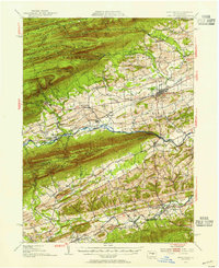
1953 · Mifflinburg
USGS Topo · 1:62,500
Featured Places
- White Deer Township, PA
- Buffalo Township, PA
- West Buffalo Township, PA
- Washington Township, PA
- Limestone Township, PA