Loading...
Loading map...2022 Map of Williamsport
USGS Topo · Published 2022About this map
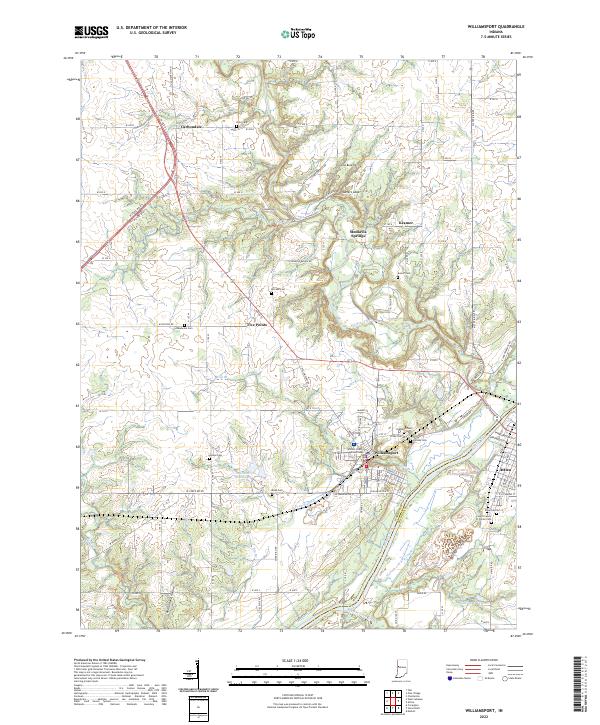
The Wabash River serves as a prominent boundary on this landscape, separating Warren Co from Fountain Co. At the heart of the region, the city of Williamsport sits atop the bluff, centered around the Warren County Courthouse. The local topography is defined by the winding course of Big Pine Creek and the prominent elevations of Hog Back Hill and Lovers Leap.
Find a feature on this map
77 named features on this map. Tap any name to fly to it.
Don’t see what you’re looking for? This feature index may not catch every label — zoom into the map to look around manually.
Map Details
Date Portrayed2022
Date Published2022
PublisherU.S. Geological Survey
Map TypeTopographic
Scale1:24000
Physical Dimensions24 x 29 inches
Editions of this 2022 Williamsport Map
This is the sole edition of this map. No revisions or reprints were ever made.
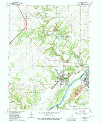
Historical Maps of Kramer Through Time
Featured Locations
Source Details
SourceU.S. Geological Survey
CopyrightPublic Domain