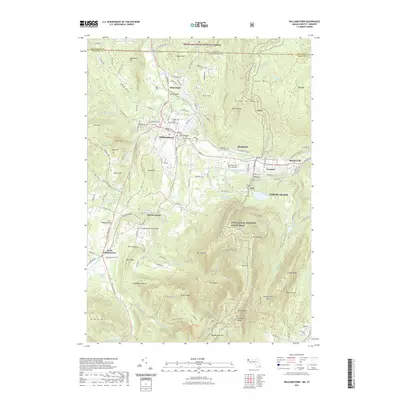
2021 Map of Williamstown
USGS Topo · Published 2021About this map
Williams College anchors the heart of this valley landscape, where the northern reaches of the Taconic Range meet the Green Mountains at the Vermont border. The town of Williamstown is surrounded by a network of historical burial grounds, including Westlawn Cem, Eastlawn Cem, and the specialized College Cem. The terrain is defined by dramatic elevations, rising from the Hoosic River valley to the summit of Mt Greylock in the south and Bald Mtn to the northeast. Transportation and recreation corridors are prominent, with the Appalachian National Scenic Trail winding across the peaks and ridges, connecting landmarks like The Hopper and Stony Ledge. Along the eastern edge, the industrial and residential corridors of North Adams and Blackinton follow the river, while the Harriman-and-West Airport occupies the flatlands near the Hoosic.
Find a feature on this map
146 named features on this map. Tap any name to fly to it.
Don’t see what you’re looking for? This feature index may not catch every label — zoom into the map to look around manually.
Map Details
Editions of this 2021 Williamstown Map
This is the sole edition of this map. No revisions or reprints were ever made.
Other maps of this area

1886 · Greylock
USGS Topo · 1:62,500

1888 · Berlin
USGS Topo · 1:62,500

1890 · Berlin
USGS Topo · 1:62,500

1891 · Greylock
USGS Topo · 1:62,500

1893 · Greylock
USGS Topo · 1:62,500

1894 · Berlin
USGS Topo · 1:62,500

1897 · Hoosick
USGS Topo · 1:62,500

1898 · Berlin
USGS Topo · 1:62,500

1898 · Bennington
USGS Topo · 1:62,500

1898 · Greylock
USGS Topo · 1:62,500