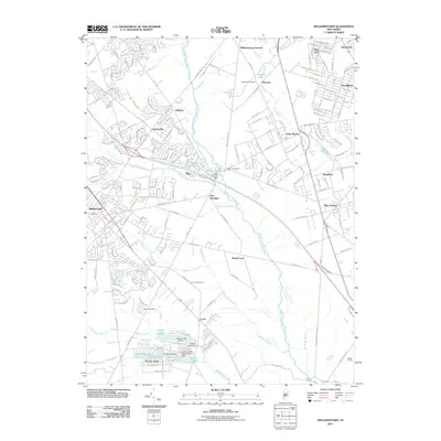
2011 Map of Williamstown
USGS Topo · Published 2011About this map
Sicklerville and Williamstown anchor this 2011 map of the New Jersey Pine Barrens fringe, where residential developments meet established agricultural areas. The landscape is defined by the headwaters of the Great Egg Harbor River, which flows past the New Brooklyn Dam and through the New Brooklyn Lake recreation area. A distinct mix of traditional settlements like Cecil and Chesilhurst are contrasted with more modern lake communities such as Timber Lakes and Victory Lakes in the south. Genealogists and local historians can trace legacy landmarks including the Hopewell Cemetery and uniquely named agricultural sites like Lots of Love Farm. The eastern edge of the map shows the influence of the regional rail and road corridors passing through Blue Anchor and Braddock, illustrating the gradual transition from the suburbanized corridor to the more open spaces of the Atlantic drainage basin.
Find a feature on this map
91 named features on this map. Tap any name to fly to it.
Don’t see what you’re looking for? This feature index may not catch every label — zoom into the map to look around manually.
Map Details
Editions of this 2011 Williamstown Map
This is the sole edition of this map. No revisions or reprints were ever made.
Other maps of this area

1888 · Mount Holly
USGS Topo · 1:62,500

1890 · Hammonton
USGS Topo · 1:62,500

1890 · Glassboro
USGS Topo · 1:62,500

1891 · Philadelphia
USGS Topo · 1:62,500

1894 · Hammonton
USGS Topo · 1:62,500

1894 · Mount Holly
USGS Topo · 1:62,500

1894 · Philadelphia
USGS Topo · 1:62,500

1896 · Philadelphia
USGS Topo · 1:62,500

1898 · Glassboro
USGS Topo · 1:62,500

1898 · Philadelphia
USGS Topo · 1:62,500
Featured Places
- Sicklerville, Winslow Township
- Winslow Township, NJ
- Monroe Township, NJ
- Williamstown, Monroe Township
- Chesilhurst, NJ