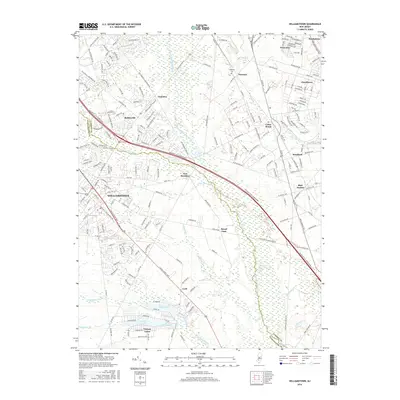
2016 Map of Williamstown
USGS Topo · Published 2016About this map
The Great Egg Harbor River headwaters and a intricate network of drainage streams define this Pine Barrens landscape on the border of Gloucester and Camden counties. Williamstown and Sicklerville anchor the western portion of the map, showing dense suburban development that contrasts with the marshy lowlands to the east. The Atlantic City Expressway cuts diagonally across the center, serving as a modern artery through historic settlements like Blue Anchor and New Brooklyn.
Find a feature on this map
32 named features on this map. Tap any name to fly to it.
Don’t see what you’re looking for? This feature index may not catch every label — zoom into the map to look around manually.
Map Details
Editions of this 2016 Williamstown Map
This is the sole edition of this map. No revisions or reprints were ever made.
Other maps of this area

1888 · Mount Holly
USGS Topo · 1:62,500

1890 · Hammonton
USGS Topo · 1:62,500

1890 · Glassboro
USGS Topo · 1:62,500

1891 · Philadelphia
USGS Topo · 1:62,500

1894 · Hammonton
USGS Topo · 1:62,500

1894 · Mount Holly
USGS Topo · 1:62,500

1894 · Philadelphia
USGS Topo · 1:62,500

1896 · Philadelphia
USGS Topo · 1:62,500

1898 · Glassboro
USGS Topo · 1:62,500

1898 · Philadelphia
USGS Topo · 1:62,500
Featured Places
- Sicklerville, Winslow Township
- Winslow Township, NJ
- Monroe Township, NJ
- Williamstown, Monroe Township
- Chesilhurst, NJ