Loading...
Loading map...2024 Map of Williamsville
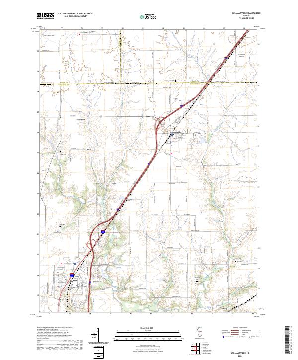
USGS Topo · Published 2024About this map
Williamsville and Sherman anchor this Central Illinois landscape where the borders of Menard, Logan, and Sangamon counties meet. The area is defined by a grid of agricultural roads and the winding courses of Wolf Creek and Fancy Creek. For genealogists and local researchers, the map preserves the locations of numerous historic burial grounds scattered across the countryside, including Walnut Hill Cem, Fancy Creek Cem, and Bice Cem.
Find a feature on this map
110 named features on this map. Tap any name to fly to it.
Don’t see what you’re looking for? This feature index may not catch every label — zoom into the map to look around manually.
Map Details
Date Portrayed2024
Date Published2024
PublisherU.S. Geological Survey
Map TypeTopographic
Scale1:24000
Physical Dimensions24 x 29 inches
Editions of this 2024 Williamsville Map
This is the sole edition of this map. No revisions or reprints were ever made.
Historical Maps of Fancy Prairie Through Time
Featured Locations
Source Details
SourceU.S. Geological Survey
CopyrightPublic Domain