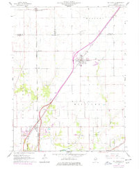
1966 Map of Williamsville
USGS Topo · Published 1978About this map
Williamsville sits at the heart of this agricultural and transit corridor during a period of infrastructure modernization. The map documents the shifting landscape as the new interstate highway system parallels the established tracks of the Gulf Mobile and Ohio and Illinois Terminal railroads. This overlay of transport eras is most evident near Sherman, where a Roadside Park and modern Rest Area appear alongside long-standing local landmarks like St John Ch.
Find a feature on this map
29 named features on this map. Tap any name to fly to it.
Don’t see what you’re looking for? This feature index may not catch every label — zoom into the map to look around manually.
Map Details
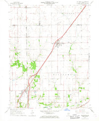
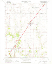
Editions of this 1966 Williamsville Map
3 editions found
Other maps of this area

1907 · Springfield
USGS Topo · 1:62,500

1911 · Lincoln
USGS Topo · 1:62,500

1913 · Lincoln
USGS Topo · 1:62,500

1930 · Springfield
USGS Topo · 1:62,500

1940 · Springfield
USGS Topo · 1:62,500

1948 · Mason City
USGS Topo · 1:62,500

1949 · Mason City
USGS Topo · 1:62,500

1950 · Springfield West
USGS Topo · 1:24,000

1950 · Springfield East
USGS Topo · 1:24,000

1954 · Mechanicsburg
USGS Topo · 1:62,500