Loading...
Loading map...1966 Map of Williamsville
USGS Topo · Published 1973About this map
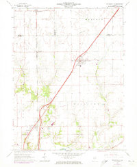
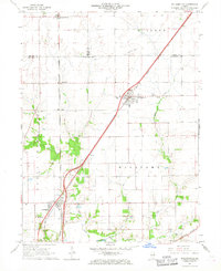
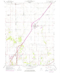
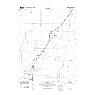
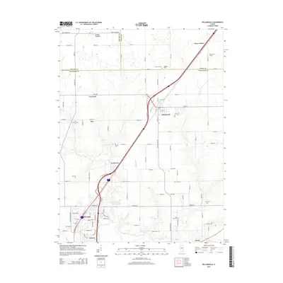
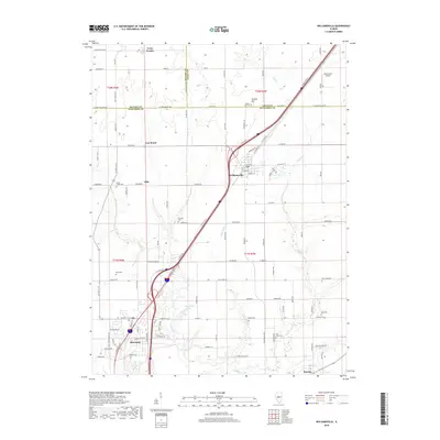
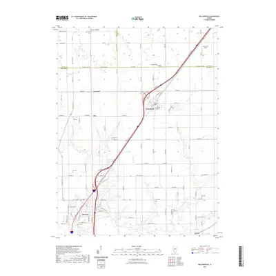
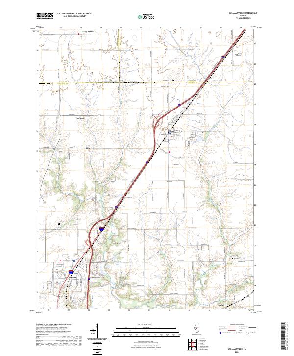
The village of Williamsville serves as a central hub in this mid-1960s survey of the Sangamon and Logan county borderlands. The landscape is defined by the parallel transit corridors of the Gulf Mobile and Ohio and the Illinois Terminal lines, which cut a direct path through the agricultural terrain. To the south, the community of Sherman sits near the winding course of the Sangamon River, while the smaller settlement of Barclay anchors the southeastern corner of the quadrangle.
Find a feature on this map
31 named features on this map. Tap any name to fly to it.
Don’t see what you’re looking for? This feature index may not catch every label — zoom into the map to look around manually.
Map Details
Date Portrayed1966
Date Published1973
PublisherU.S. Geological Survey
Map TypeTopographic
Scale1:24,000
Physical Dimensions22 x 26.8 inches
Editions of this 1966 Williamsville Map
3 editions found
Historical Maps of Sherman Through Time
6 maps found
Featured Locations
Source Details
SourceU.S. Geological Survey
CopyrightPublic Domain