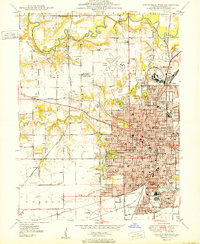
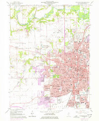
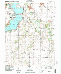
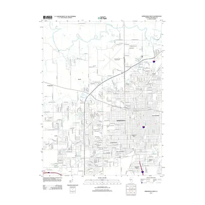
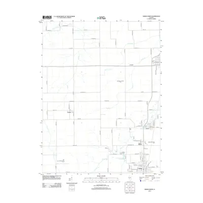
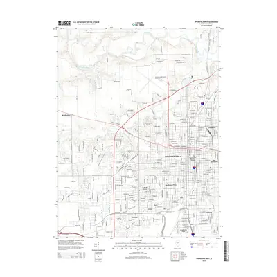
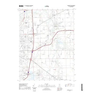
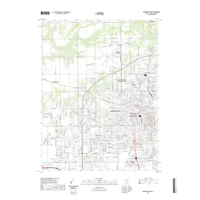
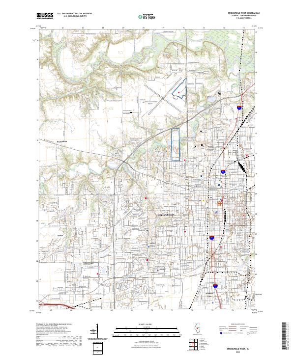
1950 Map of Springfield West
USGS Topo · Published 1950About this map
The State Capitol and the historic seat of government dominate the urban grid of Springfield in this mid-century survey. The landscape reflects a dense intersection of civic life and industrial infrastructure, with five major rail lines including the Illinois Terminal and Gulf Mobile and Ohio converging on the city. To the north, the Oak Ridge Cem contains the Lincoln Tomb, while the Fair Grounds and Capital Airport mark the city's northward expansion.
Find a feature on this map
72 named features on this map. Tap any name to fly to it.
Don’t see what you’re looking for? This feature index may not catch every label — zoom into the map to look around manually.
Map Details
Editions of this 1950 Springfield West Map
This is the sole edition of this map. No revisions or reprints were ever made.
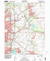
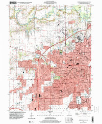
Historical Maps of Springfield Through Time
37 maps found
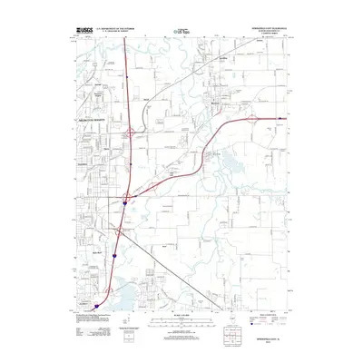
1950 Springfield East
Sangamon County, IL
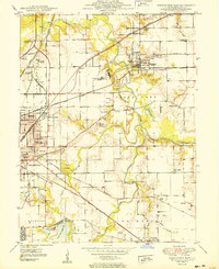
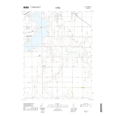
1950 Springfield West
Sangamon County, IL
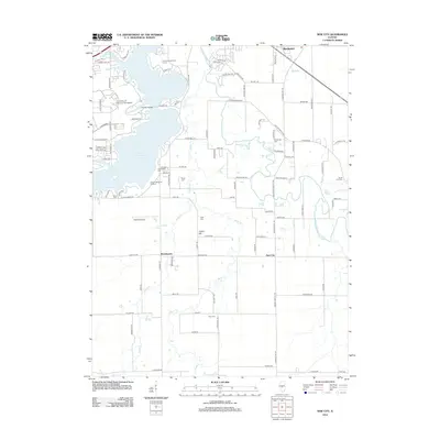
1961 New City
Sangamon County, IL
1965 Springfield East
Sangamon County, IL
1965 Springfield West
Sangamon County, IL
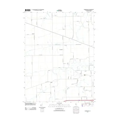
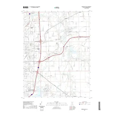
1971 Farmingdale
Sangamon County, IL
1976 Farmingdale
Sangamon County, IL
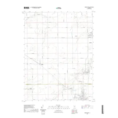
1983 Virden North
Sangamon County, IL
1998 New City
Sangamon County, IL
1998 Springfield East
Sangamon County, IL
1998 Springfield West
Sangamon County, IL
1998 Virden North
Sangamon County, IL
2012 Farmingdale
Sangamon County, IL
2012 New City
Sangamon County, IL
2012 Springfield East
Sangamon County, IL
2012 Springfield West
Sangamon County, IL
2012 Virden North
Sangamon County, IL
2015 Farmingdale
Sangamon County, IL
2015 New City
Sangamon County, IL
2015 Springfield East
Sangamon County, IL
2015 Springfield West
Sangamon County, IL
2015 Virden North
Sangamon County, IL
2018 Farmingdale
Sangamon County, IL
2018 New City
Sangamon County, IL
2018 Springfield East
Sangamon County, IL
2018 Springfield West
Sangamon County, IL
2018 Virden North
Sangamon County, IL
2021 Farmingdale
Sangamon County, IL
2021 New City
Sangamon County, IL
2021 Springfield East
Sangamon County, IL
2021 Springfield West
Sangamon County, IL
2021 Virden North
Sangamon County, IL
2024 Farmingdale
Sangamon County, IL
2024 New City
Sangamon County, IL
2024 Springfield East
Sangamon County, IL
2024 Springfield West
Sangamon County, IL
2024 Virden North
Sangamon County, IL