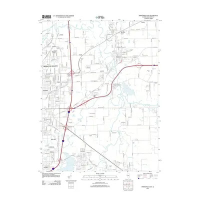
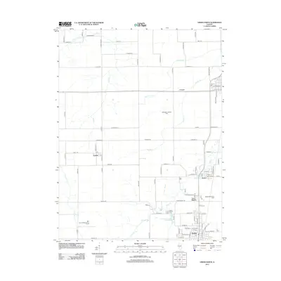
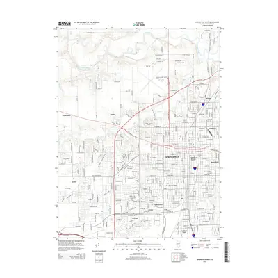
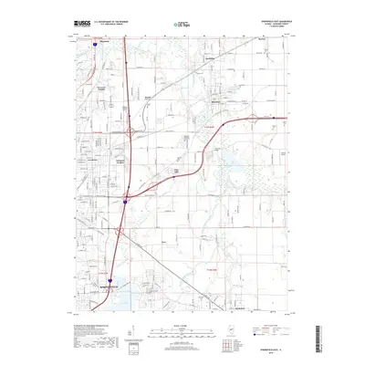
1950 Map of Springfield East
USGS Topo · Published 1950About this map
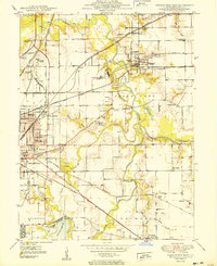
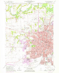
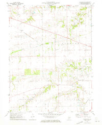
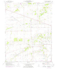
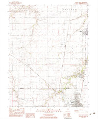
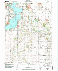
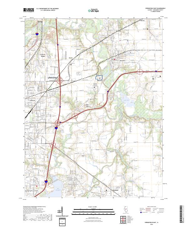
The Sangamon River and its South Fork dominate this 1950 portrait of the Illinois capital's eastern periphery. The landscape is defined by a dense network of rail lines including the Illinois Terminal, Wabash, and Baltimore and Ohio, which supported a regional economy of coal mining and agriculture evidenced by several mine dumps and a Shaft Pond. Along the riverbanks, large institutional sites like St Johns Sanitarium and the Camp Butler Cem occupy significant acreage. The southern portion of the map showcases the infrastructure of the Lake Springfield reservoir, featuring the Spaulding Dam Spillway and the Water Works. Local history is preserved through numerous rural schools such as Wright Sch and Bluff Sch, alongside established neighborhoods like Grandview and the village of Riverton.
Find a feature on this map
67 named features on this map. Tap any name to fly to it.
Don’t see what you’re looking for? This feature index may not catch every label — zoom into the map to look around manually.
Map Details
Editions of this 1950 Springfield East Map
This is the sole edition of this map. No revisions or reprints were ever made.
Historical Maps of Springfield Through Time
37 maps found
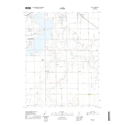
1950 Springfield East
Sangamon County, IL
1950 Springfield West
Sangamon County, IL
1961 New City
Sangamon County, IL
1965 Springfield East
Sangamon County, IL
1965 Springfield West
Sangamon County, IL
1971 Farmingdale
Sangamon County, IL
1976 Farmingdale
Sangamon County, IL
1983 Virden North
Sangamon County, IL
1998 New City
Sangamon County, IL
1998 Springfield East
Sangamon County, IL
1998 Springfield West
Sangamon County, IL
1998 Virden North
Sangamon County, IL
2012 Farmingdale
Sangamon County, IL
2012 New City
Sangamon County, IL
2012 Springfield East
Sangamon County, IL
2012 Springfield West
Sangamon County, IL
2012 Virden North
Sangamon County, IL
2015 Farmingdale
Sangamon County, IL
2015 New City
Sangamon County, IL
2015 Springfield East
Sangamon County, IL
2015 Springfield West
Sangamon County, IL
2015 Virden North
Sangamon County, IL
2018 Farmingdale
Sangamon County, IL
2018 New City
Sangamon County, IL
2018 Springfield East
Sangamon County, IL
2018 Springfield West
Sangamon County, IL
2018 Virden North
Sangamon County, IL
2021 Farmingdale
Sangamon County, IL
2021 New City
Sangamon County, IL
2021 Springfield East
Sangamon County, IL
2021 Springfield West
Sangamon County, IL
2021 Virden North
Sangamon County, IL
2024 Farmingdale
Sangamon County, IL
2024 New City
Sangamon County, IL
2024 Springfield East
Sangamon County, IL
2024 Springfield West
Sangamon County, IL
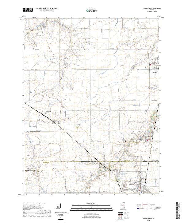
2024 Virden North
Sangamon County, IL