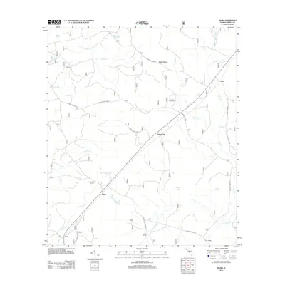
2012 Map of Wilma
USGS Topo · Published 2012About this map
Wilma and Central City anchor this portion of the Apalachicola National Forest, where the landscape is defined by a network of creeks and named bays. The New River flows through the eastern edge, joined by tributaries like Hogpen Cr and Bracel Br. The presence of the Wilma Fire Tower and numerous forest roads, including National Forest Rd 141, reflects the region's managed timber and conservation history.
Find a feature on this map
37 named features on this map. Tap any name to fly to it.
Don’t see what you’re looking for? This feature index may not catch every label — zoom into the map to look around manually.
Map Details
Editions of this 2012 Wilma Map
This is the sole edition of this map. No revisions or reprints were ever made.
Other maps of this area

1944 · Queens Bay
USGS Topo · 1:24,000

1945 · Kennedy Creek
USGS Topo · 1:31,680

1945 · Estiffanulga
USGS Topo · 1:31,680

1945 · Orange
USGS Topo · 1:31,680

1945 · Woods
USGS Topo · 1:31,680

1945 · Telogia
USGS Topo · 1:24,000

1946 · Queens Bay
USGS Topo · 1:31,680

1946 · Sumatra
USGS Topo · 1:31,680

1946 · Telogia
USGS Topo · 1:31,680

1946 · Owens Bridge
USGS Topo · 1:31,680