
1945 Map of Woods
USGS Topo · Published 1945About this map
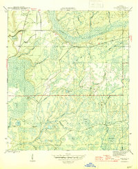
Telogia Creek winds through a landscape defined by expansive wetlands and timberlands in the heart of Liberty County. Mapping by the Geological Survey during the final years of World War II reveals a sparsely settled interior, where the small community of Woods serves as a primary reference point. The terrain is a complex network of bays, branches, and ponds, including the curiously named Half Open Pond and Camel Pond.
Find a feature on this map
32 named features on this map. Tap any name to fly to it.
Don’t see what you’re looking for? This feature index may not catch every label — zoom into the map to look around manually.
Map Details
Editions of this 1945 Woods Map
4 editions found
Other maps of this area

1944 · Queens Bay
USGS Topo · 1:24,000

1945 · Blountstown
USGS Topo · 1:31,680

1945 · Hosford
USGS Topo · 1:31,680

1945 · Estiffanulga
USGS Topo · 1:31,680

1945 · Orange
USGS Topo · 1:31,680

1945 · Bristol
USGS Topo · 1:31,680

1945 · Telogia
USGS Topo · 1:24,000

1946 · Queens Bay
USGS Topo · 1:31,680

1946 · Telogia
USGS Topo · 1:31,680
1946 · Wilma
USGS Topo · 1:31,680