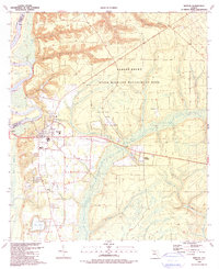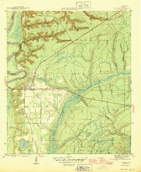
1945 Map of Bristol
USGS Topo · Published 1945About this map
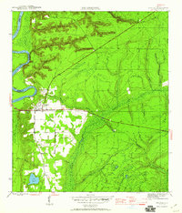
Bristol serves as the primary hub of activity along the eastern banks of the Apalachicola River during the mid-1940s. The landscape transitions from the river’s prominent Alum Bluff and its winding western boundary into a complex network of wetlands and drainage basins. Of particular interest is the Base Line, which cuts across the central terrain, anchoring the local surveying grid near Telogia Creek. The area south of the main settlement is defined by a series of family-named water features like Shuler Branch and Deason Branch, which flow toward the marshy expanse of Mud Swamp. To the southwest, Lake Mystic remains a significant local landmark. This survey also records land lines from the Forbes Purchase, reflecting the historical colonial-era land grants that still influenced Florida property boundaries at this time.
Find a feature on this map
25 named features on this map. Tap any name to fly to it.
Don’t see what you’re looking for? This feature index may not catch every label — zoom into the map to look around manually.
Map Details
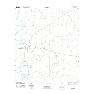
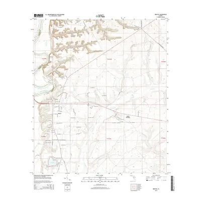
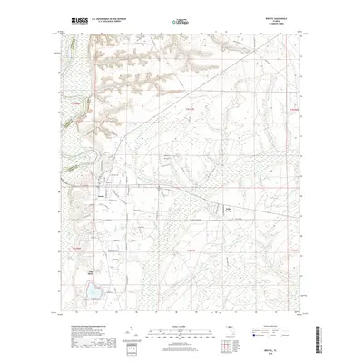
Editions of this 1945 Bristol Map
3 editions found
Historical Maps of Bristol Through Time
7 maps found