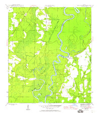
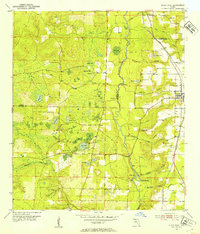
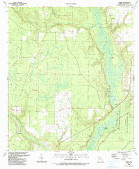
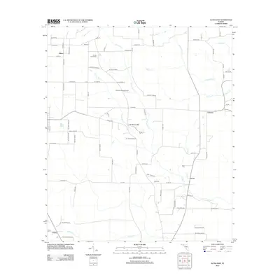
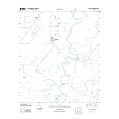
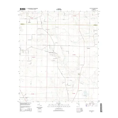
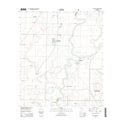
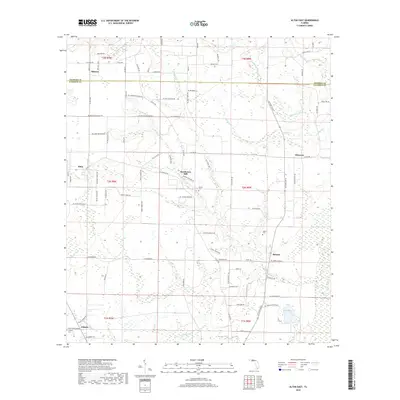
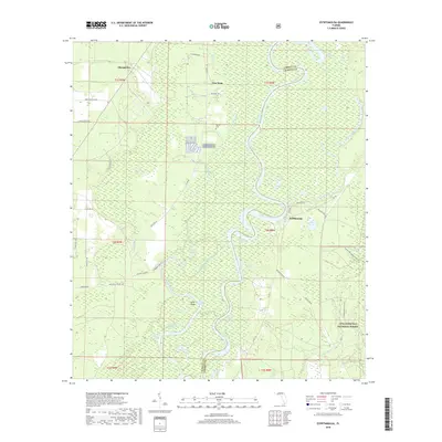
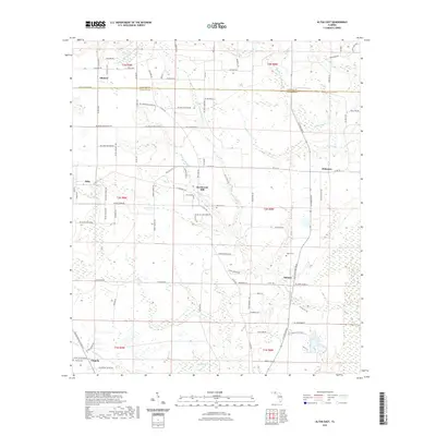
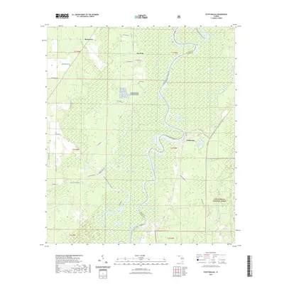
1952 Map of Altha East
USGS Topo · Published 1953About this map
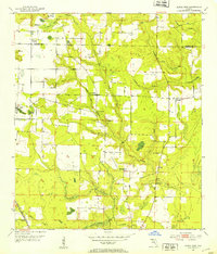
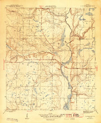
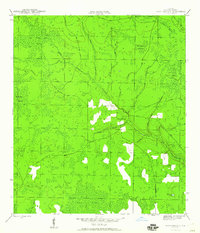
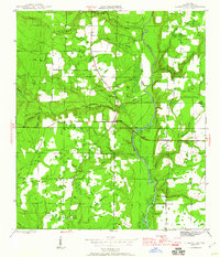
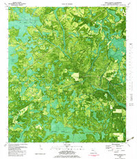
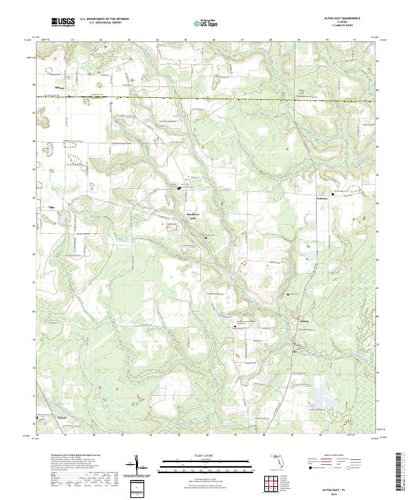
Altha and the surrounding agricultural lands of Calhoun and Jackson counties are documented here in the early 1950s, following a decade of topographic refinement from aerial photography. The landscape is defined by the drainage of Thomas Mill Creek and Flowers Creek as they move toward the Chipola River in the southwest. A high concentration of community landmarks provides significant value for local history, including Henderson Mill and a network of rural meeting houses such as Sunny Hill Ch, Corinth Ch, and Mt Olive Ch. The map reveals the intricate water network of the Florida Panhandle, where numerous sinks and ponds like Bird Pond dot the terrain alongside more substantial flows such as Ocheesee Creek. Settlement patterns are clear, with small clusters at Alliance and Ocheesee serving as focal points for the dispersed farmsteads of the era.
Find a feature on this map
27 named features on this map. Tap any name to fly to it.
Don’t see what you’re looking for? This feature index may not catch every label — zoom into the map to look around manually.
Map Details
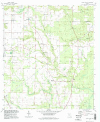
Editions of this 1952 Altha East Map
This is the sole edition of this map. No revisions or reprints were ever made.
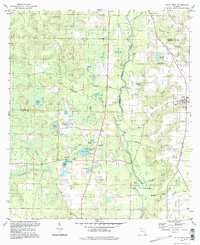
Historical Maps of Altha Through Time
59 maps found
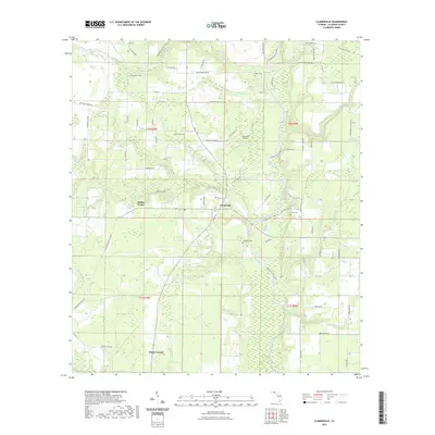
1944 Clarksville
Calhoun County, FL
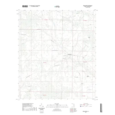
1945 Broad Branch
Calhoun County, FL
1945 Clarksville
Calhoun County, FL
1945 Estiffanulga
Calhoun County, FL
1945 Frink
Calhoun County, FL
1945 Juniper Creek
Calhoun County, FL
1952 Alford SE
Calhoun County, FL
1952 Altha East
Calhoun County, FL
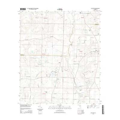
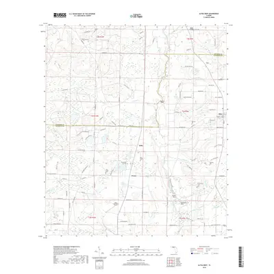
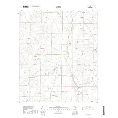
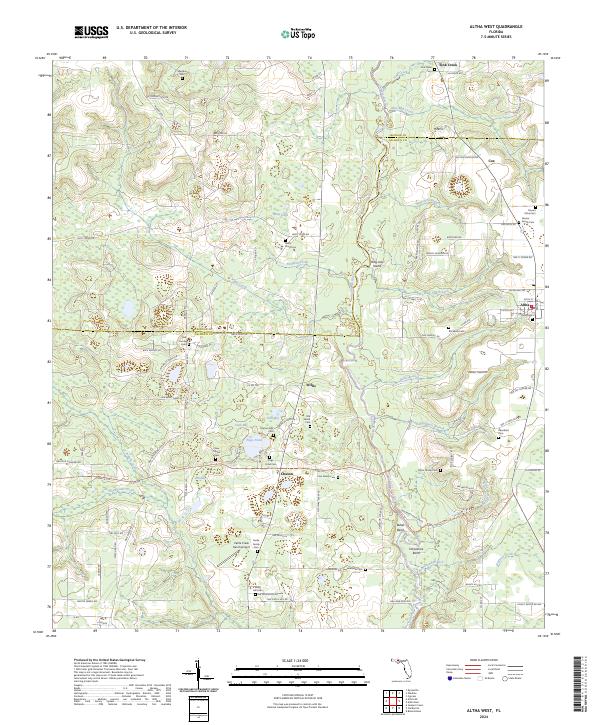
1952 Altha West
Calhoun County, FL
1982 Alford SE
Calhoun County, FL
1982 Altha East
Calhoun County, FL
1982 Altha West
Calhoun County, FL
1982 Broad Branch
Calhoun County, FL
1982 Juniper Creek
Calhoun County, FL
1990 Clarksville
Calhoun County, FL
1990 Estiffanulga
Calhoun County, FL
1990 Frink
Calhoun County, FL
1994 Altha East
Calhoun County, FL
1994 Altha West
Calhoun County, FL
2012 Alford SE
Calhoun County, FL
2012 Altha East
Calhoun County, FL
2012 Altha West
Calhoun County, FL
2012 Broad Branch
Calhoun County, FL
2012 Clarksville
Calhoun County, FL
2012 Estiffanulga
Calhoun County, FL
2012 Frink
Calhoun County, FL
2012 Juniper Creek
Calhoun County, FL
2015 Alford SE
Calhoun County, FL
2015 Altha East
Calhoun County, FL
2015 Altha West
Calhoun County, FL
2015 Broad Branch
Calhoun County, FL
2015 Clarksville
Calhoun County, FL
2015 Estiffanulga
Calhoun County, FL
2015 Frink
Calhoun County, FL
2015 Juniper Creek
Calhoun County, FL
2018 Alford SE
Calhoun County, FL
2018 Altha East
Calhoun County, FL
2018 Altha West
Calhoun County, FL
2018 Broad Branch
Calhoun County, FL
2018 Clarksville
Calhoun County, FL
2018 Estiffanulga
Calhoun County, FL
2018 Frink
Calhoun County, FL
2018 Juniper Creek
Calhoun County, FL
2021 Alford SE
Calhoun County, FL
2021 Altha East
Calhoun County, FL
2021 Altha West
Calhoun County, FL
2021 Broad Branch
Calhoun County, FL
2021 Clarksville
Calhoun County, FL
2021 Estiffanulga
Calhoun County, FL
2021 Frink
Calhoun County, FL
2021 Juniper Creek
Calhoun County, FL
2024 Alford SE
Calhoun County, FL
2024 Altha East
Calhoun County, FL
2024 Altha West
Calhoun County, FL
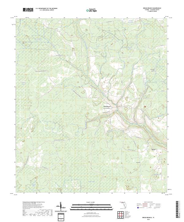
2024 Broad Branch
Calhoun County, FL
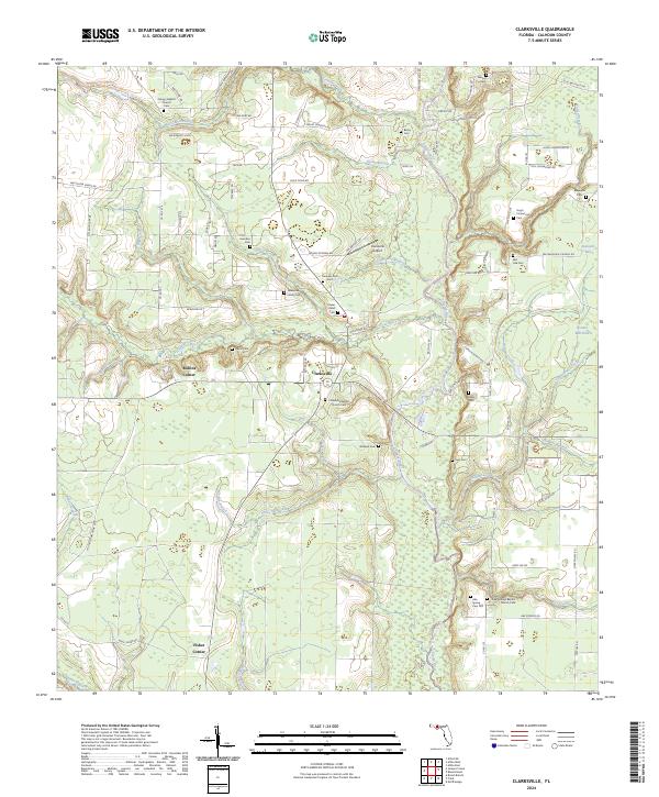
2024 Clarksville
Calhoun County, FL
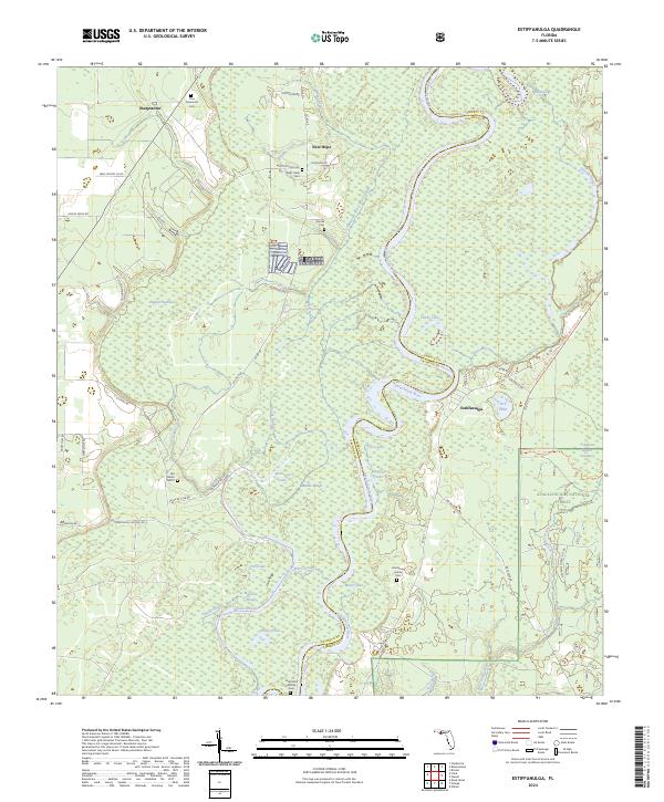
2024 Estiffanulga
Calhoun County, FL
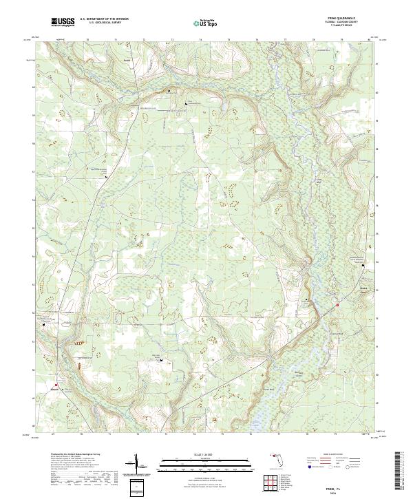
2024 Frink
Calhoun County, FL
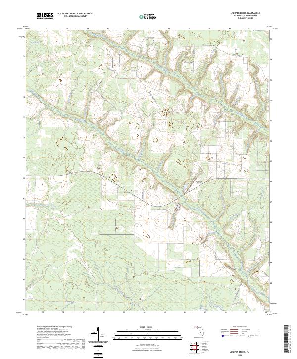
2024 Juniper Creek
Calhoun County, FL